Brandon Collins

Member Since: November 2024
Brandon Collins
Chief UAS Field Application Specialist
- 3D Rendering
- Aerial Inspections
- Agriculture
- Cable Inspections
- Cell Tower Inspections
- Commercials
- Construction
- Drone
- Environmental Monitoring
- Event Filming
- FPV Drones
- Game Tracking
- Golf Courses
- Ground Penetrating Radar
- Insurance Inspections
- Journalism and News Coverage
- Mapping
- Mining
- Oil & Gas Industry
- Photography
- Power Line Inspections
- Real Estate
- Roofing Inspections
- Urban Planning
- Videography
- Videos
- Wind Turbine Inspections

About:
GEOuplift is a veteran-owned geospatial data company specializing in drone-based LiDAR, photogrammetry, and volumetric analysis. We provide high-precision mapping, 3D modeling, and site analysis services for industries such as construction, environmental management, real estate, and infrastructure development. We also provide high quality videography and photography. Using advanced UAS technology, we deliver data-driven solutions that empower clients to make informed decisions on complex projects.
Equipment:
Mavic 3 Thermal
Manufacturer: DJI
Matrice 350 RTK
Manufacturer: DJI
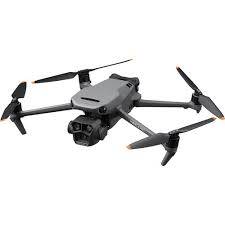
Mavic 3 Pro
Manufacturer: DJI
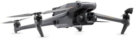
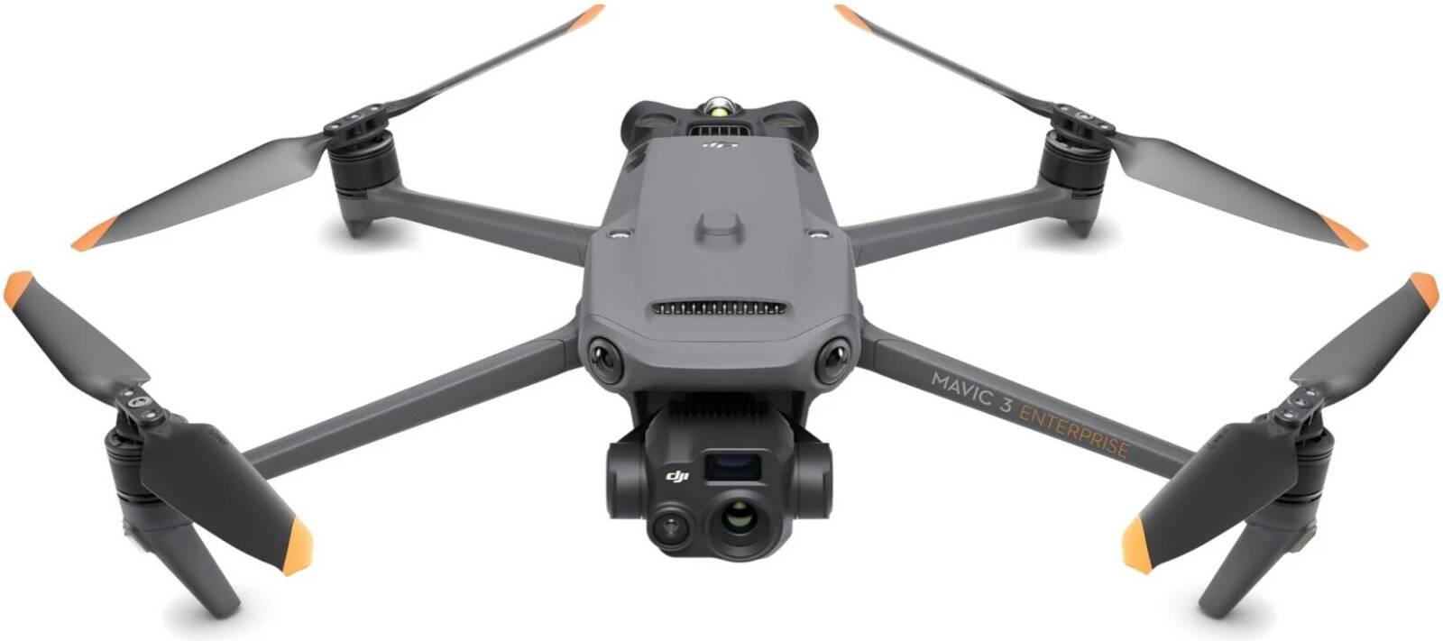
Mavic 3 Enterprise
Manufacturer: DJI
Service Area:

Video Gallery:
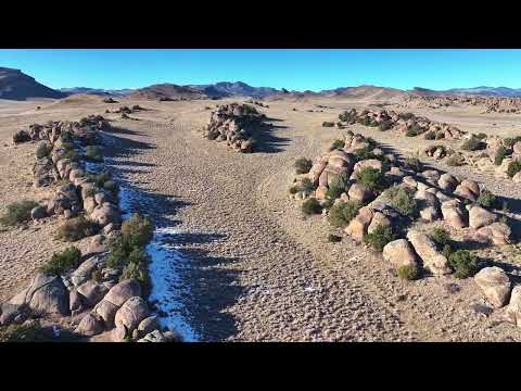
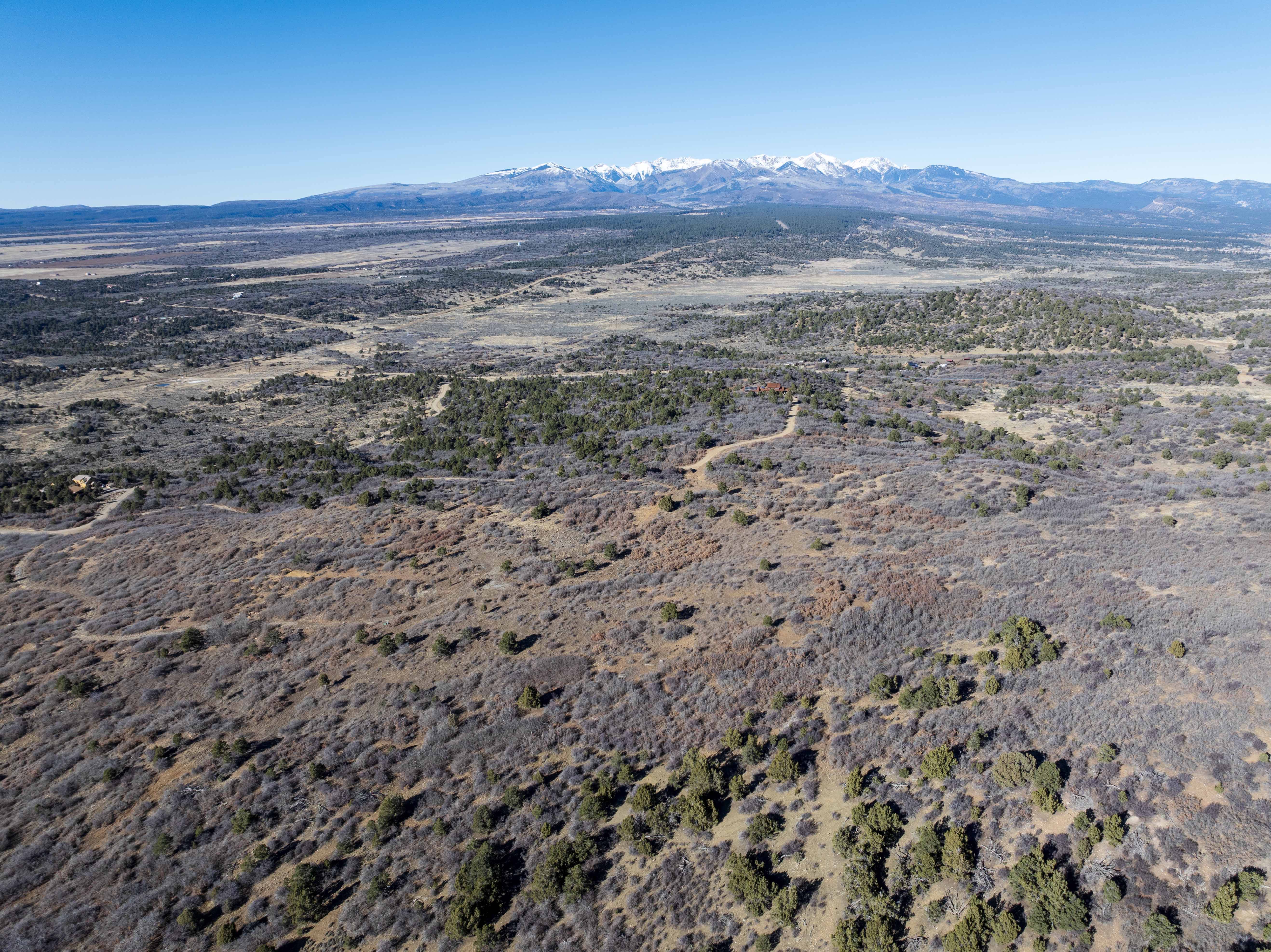
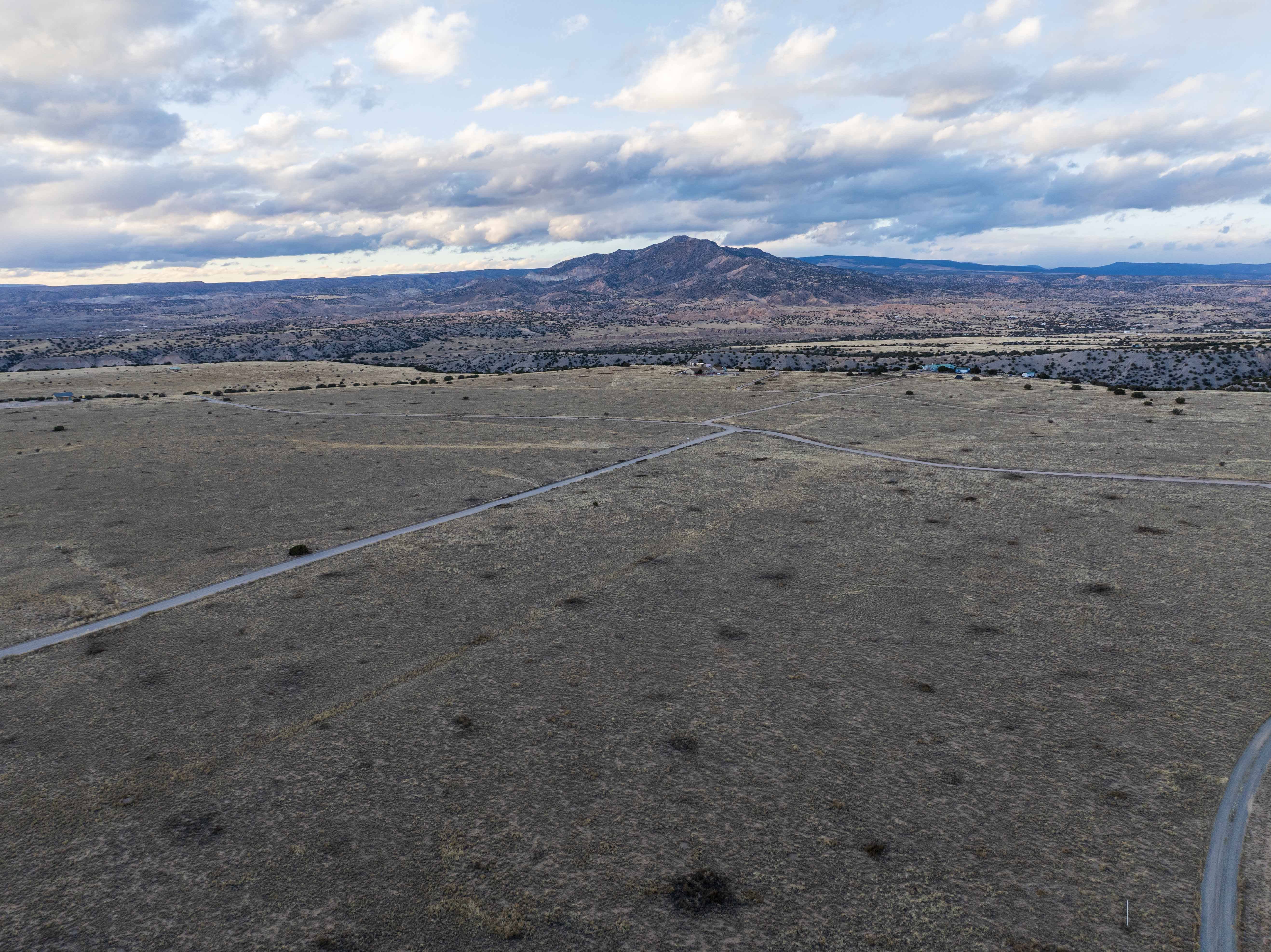
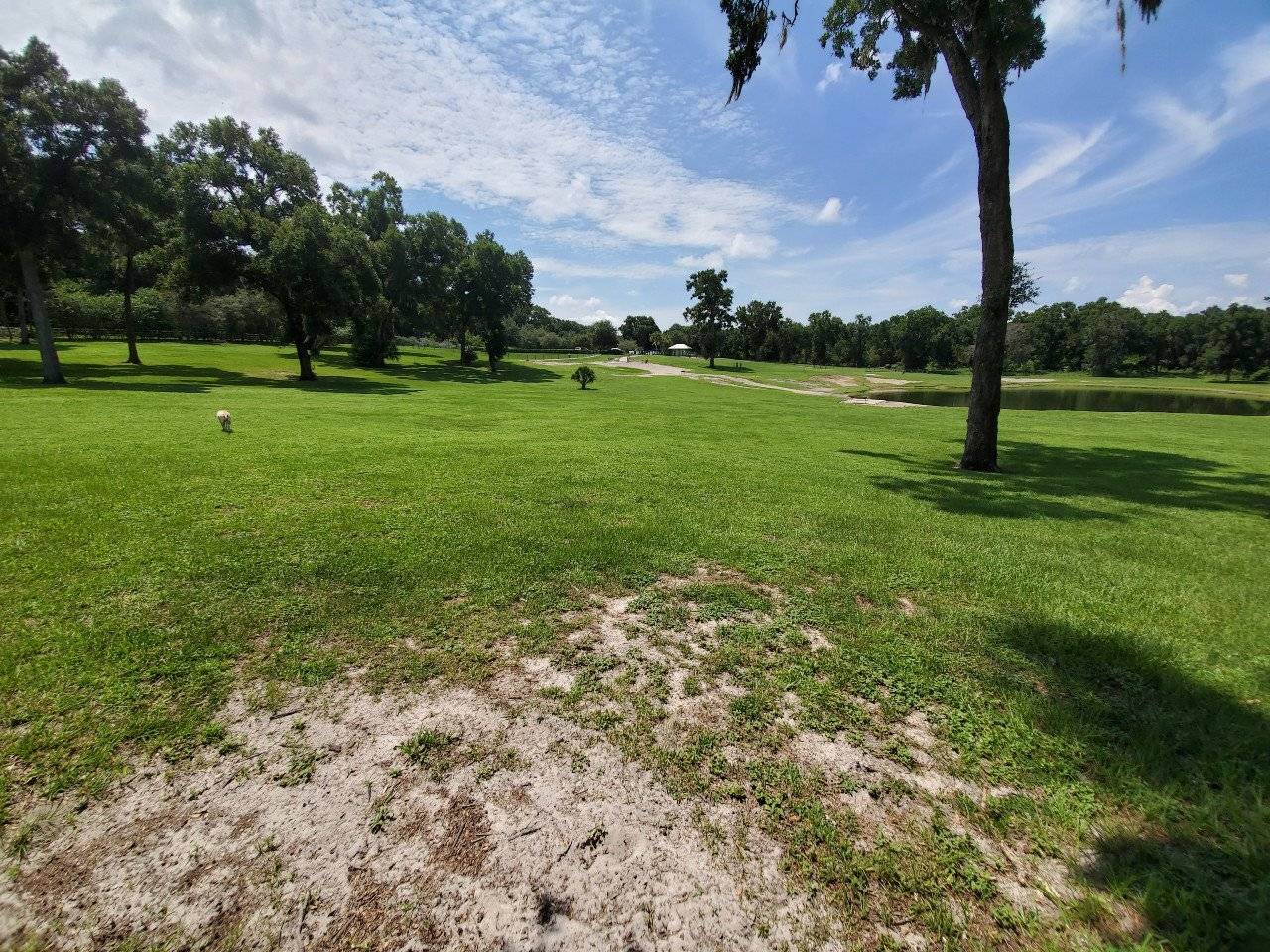
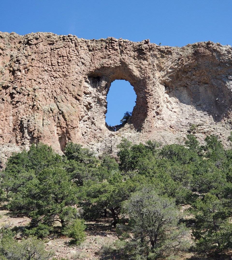
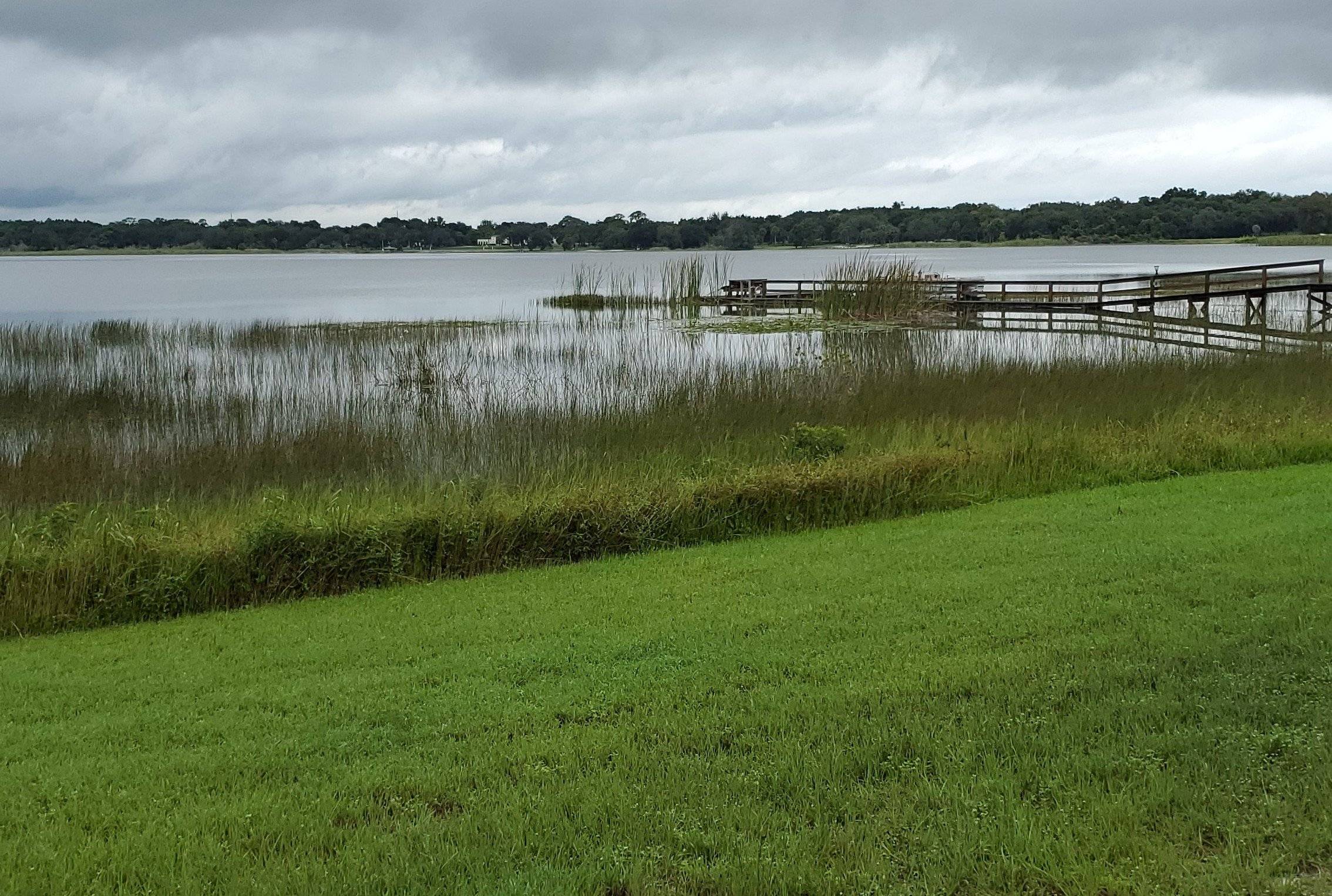
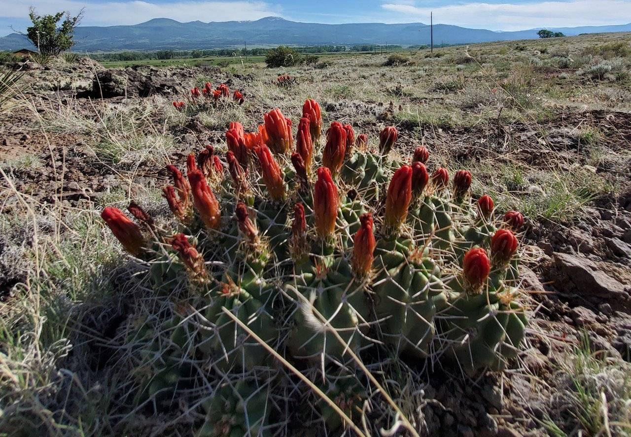
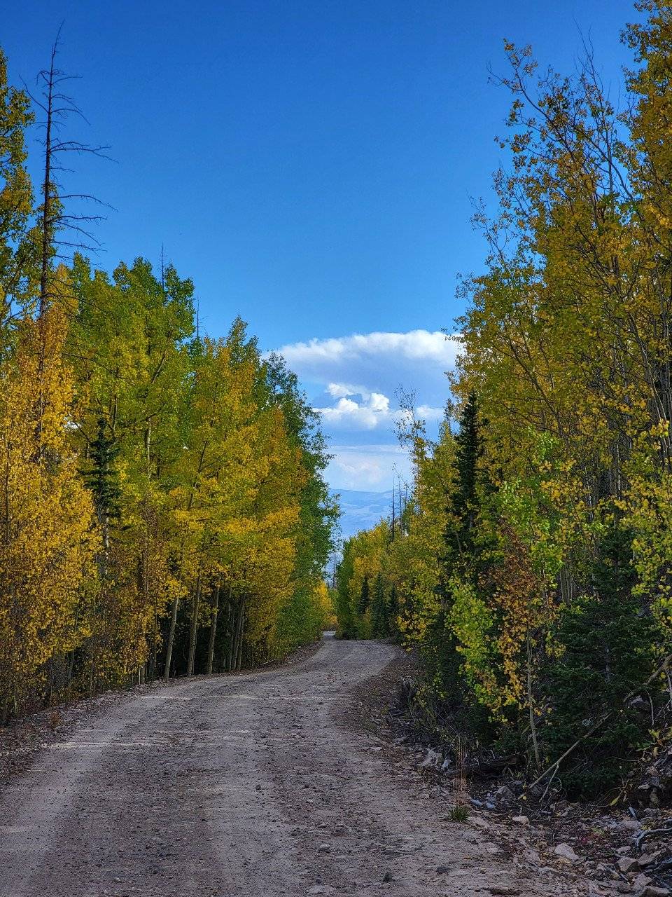
Photo Gallery: