Dawson Clark

Dawson Clark
Drone Pilot for Mapping and Data Collection
- 3D Rendering
- Aerial Inspections
- Cable Inspections
- Cell Tower Inspections
- Construction
- Insurance Inspections
- Mapping
- Power Line Inspections
- Roofing Inspections
- Urban Planning
- Wind Turbine Inspections

About:
I am a passionate drone operator specializing in mapping, aerial inspections, and land management data analysis. My journey into the world of drones was inspired by a lifelong love of aviation, although I realized early on that the traditional commercial flying path wasn’t the right fit for me. After flying a few inexpensive drones in my childhood, I recently discovered the incredible potential of commercial drones, which opened up a whole new world of opportunities. Currently, I operate the Mavic 3 Enterprise, focusing primarily on mapping and ground data collection. What fascinates me most is the data aspect of drone technology is transforming simple images into precise, detailed maps and measurements that aid in land planning and management. The ability to create digital representations of the world from aerial perspectives and provide actionable insights for my clients is what drives my dedication to this field. My skill set includes meticulous flight path preplanning, ensuring compliance with airspace regulations and weather conditions while prioritizing safety for everyone involved. I pride myself on understanding my clients’ needs, tailoring my approach to meet their specific accuracy requirements. Post-processing is one of my favorite tasks; I love transforming collected data into visual files that align with project goals. As a newly certified Part 107 holder, I am committed to continuous learning and growth in the industry. I embrace constructive criticism and am eager to expand my skills further. I am dedicated to making my mark in the drone field and look forward to taking on new challenges.
Equipment:

Rebel T7
Manufacturer: Canon
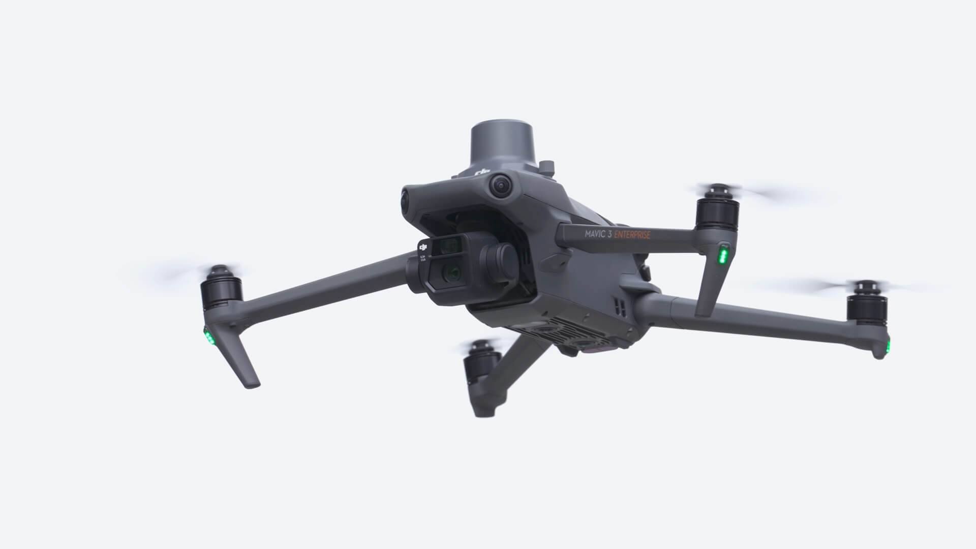
Mavic 3 Enterprise
Manufacturer: DJI
Service Area:
