Michael Lambert
Member Since: February 2024
Michael Lambert
End-to-End Geomatics and Drone Services
- 3D Rendering
- Adobe PhotoShop
- Aerial Inspections
- Cell Tower Inspections
- Construction
- Drone
- Environmental Monitoring
- Event Filming
- Flying Lessons
- Golf Courses
- Insurance Inspections
- Mapping
- Mining
- Oil & Gas Industry
- Photography
- OTHER
- Real Estate
- Roofing Inspections
- Urban Planning
- Video Editing
- Videography
- Videos
- Wind Turbine Inspections
- Drone Boot Camp Videos
- Photogrammetry
- Volumetrics
- Modeling
- Residential Property Inspector
- Commercial Property Inspector
- Drones
- Drone Flying Lessons
- Hobbyist Gatherings
- Hobbyist Conventions
- Surveying
- Geomatics
- Gps

About:
I am a geomatics expert specializing in control networks, GNSS protocols, data translation, construction & inspections - and all the while integrating drones. I have spoken at many events and been an employed beta tester for several software and hardware companies in these spaces. You can trust your data will be right no matter how it was collected or where it needs to end up.
Equipment:
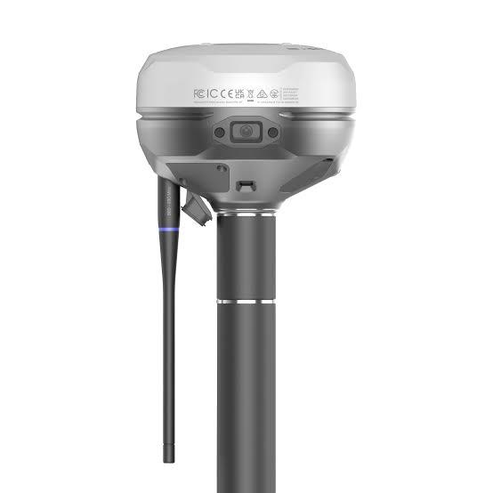
RS4 Pro survey receiver
Manufacturer: Emlid
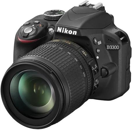
D3300 camera
Manufacturer: Nikon
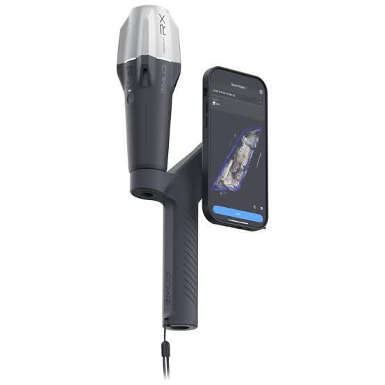
Mobile scanning
Manufacturer: Emlid
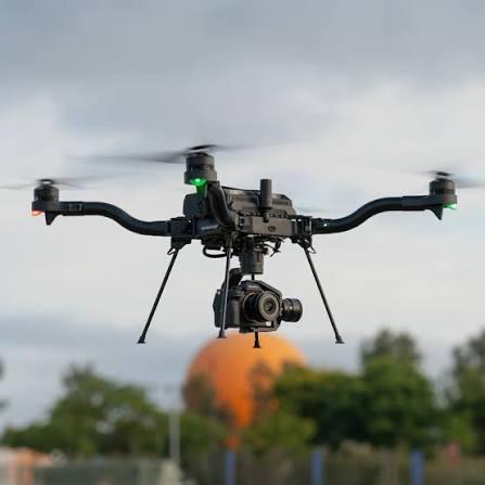
Astro Max drone
Manufacturer: Freefly
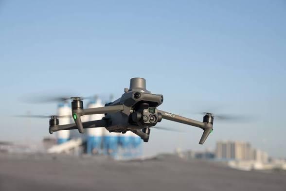
Magic 3 Enterprise drone
Manufacturer: DJI
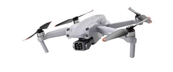
Air 2S drone
Manufacturer: DJI
Service Area: