Jeff Meining
Jeff Meining
Vetrone Aerial Solutions
- 3D Rendering
- Adobe PhotoShop
- Advertising
- Aerial Inspections
- Agriculture
- Ashes scattering
- Baby Reveal Partys
- Cable Inspections
- Cell Tower Inspections
- Commercials
- Construction
- Drone
- Environmental Monitoring
- Event Filming
- FAA Part 107 Test Lessons
- Flying Lessons
- FPV Drones
- Game Tracking
- Golf Courses
- Ground Penetrating Radar
- Infra-Red Photography
- Insurance Inspections
- Journalism and News Coverage
- Law Enforcement
- Live Events
- Mapping
- Maritime
- Mining
- Music Videos
- Oil & Gas Industry
- OTHER
- Photography
- Power Line Inspections
- Racing Drones
- Real Estate
- Roofing Inspections
- Search & Rescue
- Security
- Sport Photography
- Synchronized Light Shows
- Urban Planning
- Video Editing
- Videography
- Videos
- Weddings
- Wind Turbine Inspections

About:
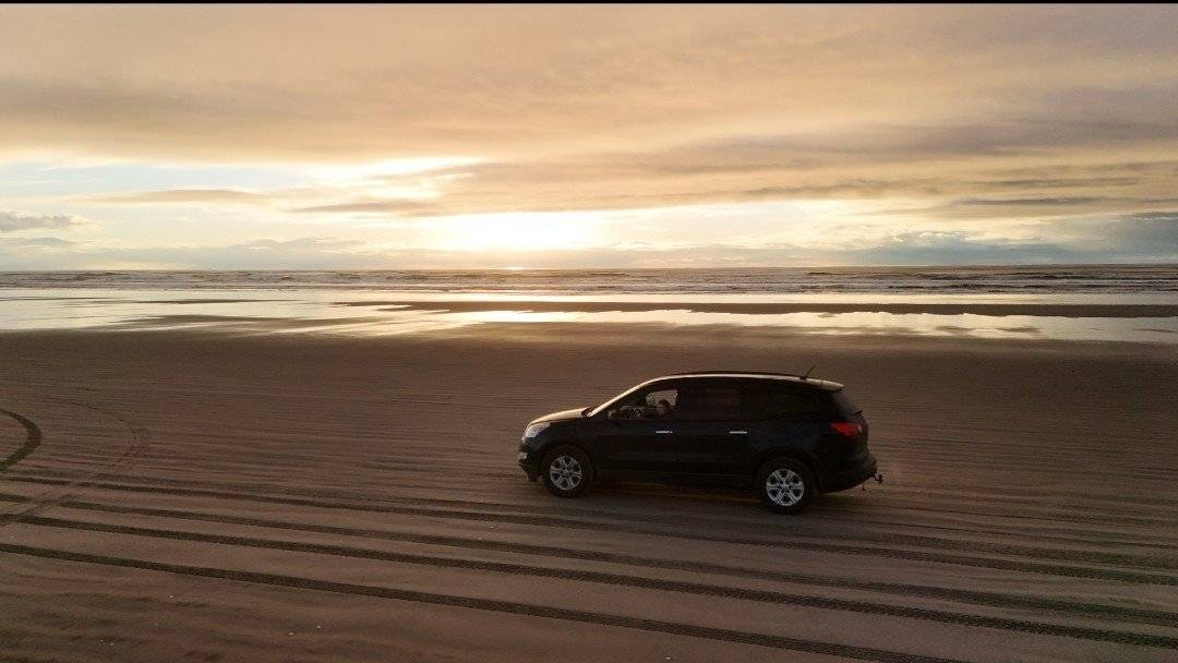
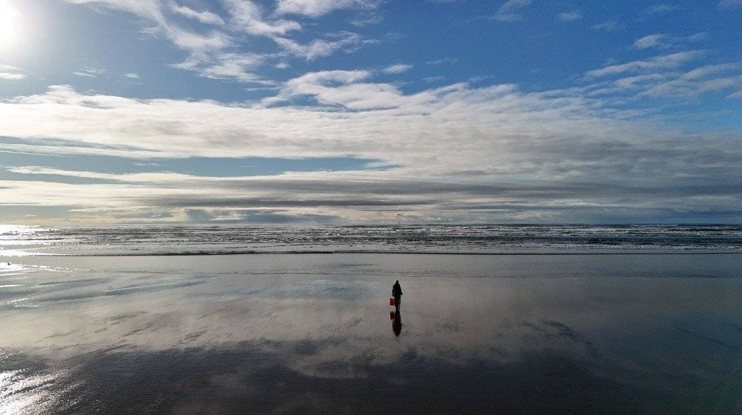
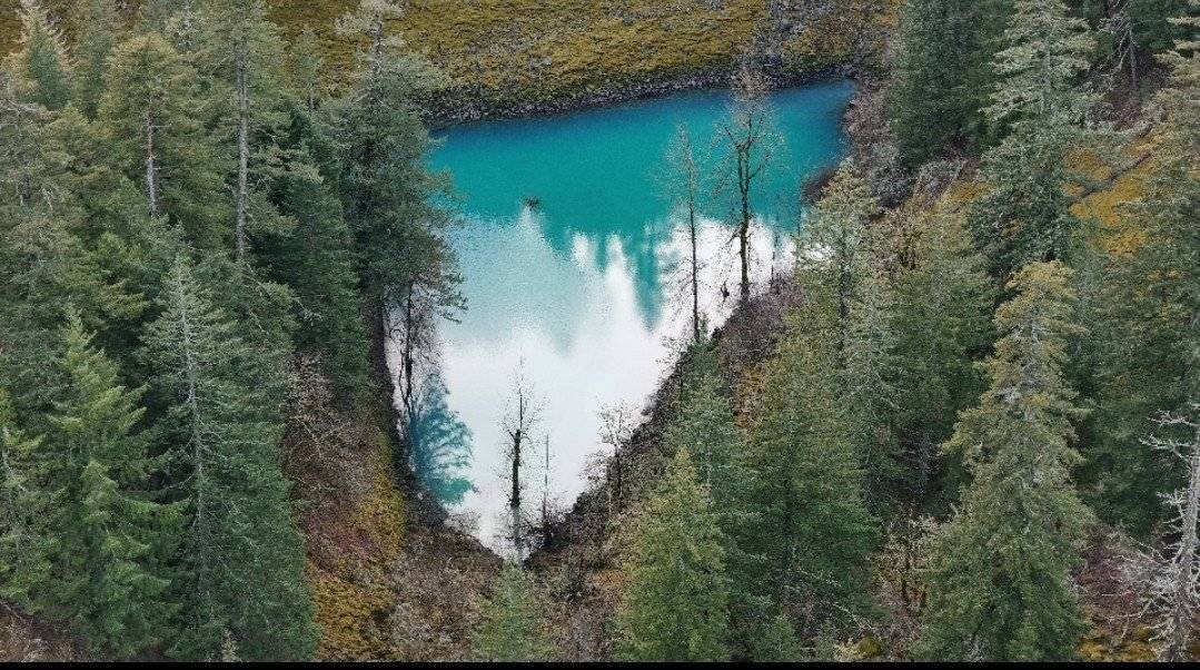
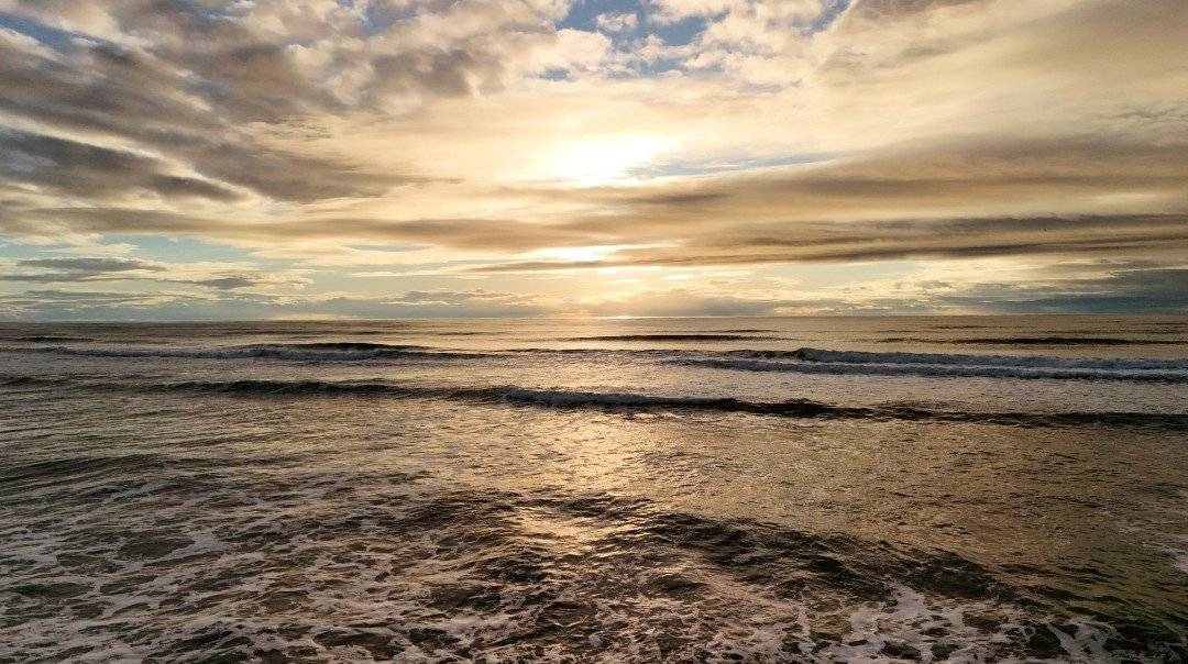
Vetrone Aerial Solutions delivers cutting-edge drone technology with a passion for the outdoors, providing high-quality aerial mapping, and marketing. Founded by veterans with expertise in tactical operations, we bring precision, reliability, and discipline to every project. As avid hunters and outdoor enthusiasts, we understand what landowners, lease operators, and conservationists need. Our services include aerial property showcases, wildlife monitoring, and more, designed to maximize land value and marketing efforts. We specialize in high-resolution 4K drone footage, interactive mapping, and conservation tracking to support hunting and fishing properties, parks, and recreational lands. Committed to excellence and land stewardship, VAS blends military-grade precision with outdoor industry expertise to deliver tailored drone solutions. Whether marketing a hunting lease, tracking game, VAS provides the ultimate aerial advantage.
Service Area:
Video Gallery:
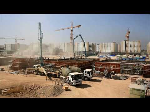
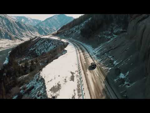

Photo Gallery: