Jim Peterson

Jim Peterson
Jim Peterson
- Drone
- Photography
- Videography
- Video Editing
- Adobe PhotoShop
- Real Estate
- Videos
- Aerial Inspections
- 3D Rendering
- Mapping
- Advertising
- Construction
- FAA Part 107 Test Lessons
- Golf Courses
- Photogrammetry
- Volumetrics
- Modeling
- Commercial Property Inspector
- Drones
- Surveying
- Geomatics
- Data Management
- Prescription Map Execution

About:
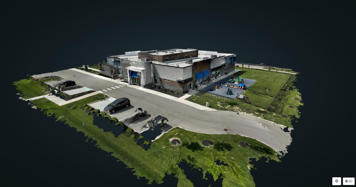
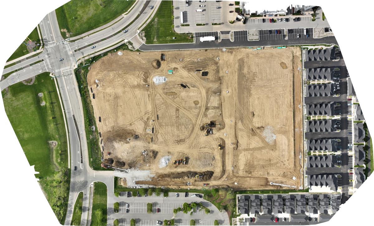
Jim Peterson is a Part 107-certified drone pilot based in Indianapolis, Indiana. He operates Heartland SiteView, providing consistent, repeatable aerial documentation and mapping deliverables for active job sites and development projects. Jim specializes in photogrammetry workflows, producing orthomosaics and 3D models that help teams track progress, verify site conditions, and communicate updates clearly to stakeholders.
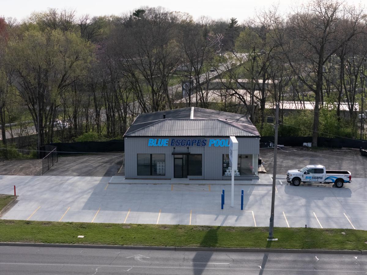
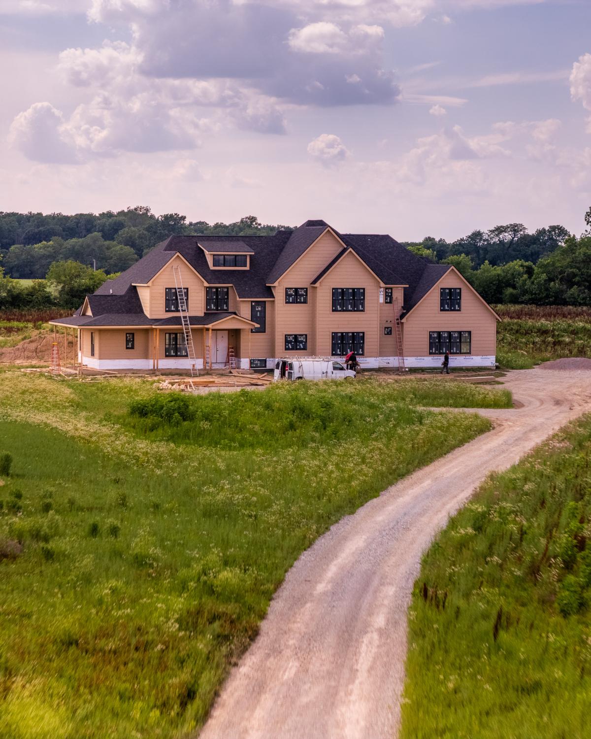
In addition to mapping, Jim delivers high-quality aerial photos and video with professional post-production, including editing optimized for progress reporting, presentations, and marketing use. His standard turnaround is within 72 hours, with an emphasis on clear labeling, consistent viewpoints, and clean digital delivery.
Jim flies a DJI Mavic 3 Enterprise with RTK for precision capture, uses a DJI Air 3 for photo and video coverage, and a DJI NEO for interior or close-up work where smaller footprints matter. If you need a reliable pilot who can capture repeatable visuals, generate mapping-ready data, and deliver polished video assets on a predictable schedule, Jim brings a disciplined, client-ready approach from flight plan to final files.
Equipment:
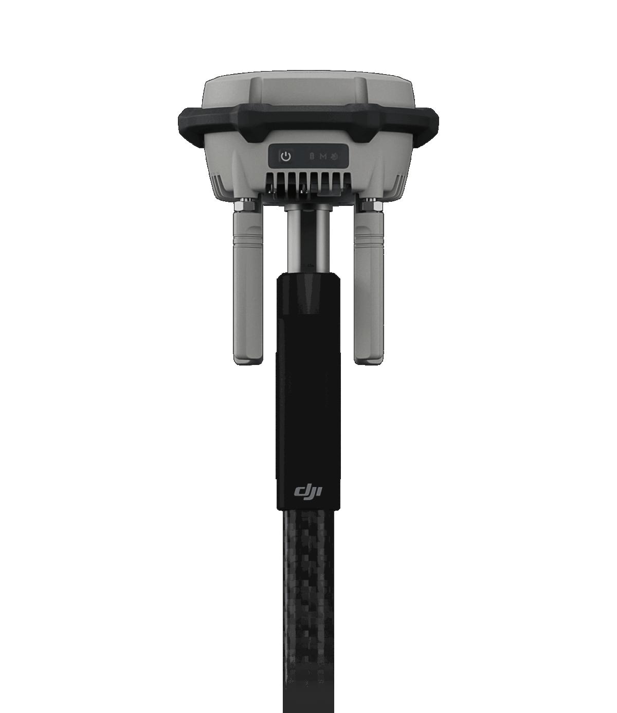
Multistation RTK 3
Manufacturer: D

NEO
Manufacturer: DJI
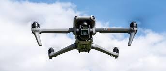
Air 3
Manufacturer: DJI
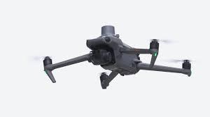
Mavic 3 Enterprise with RTK Module
Manufacturer: DJI
Service Area:

Video Gallery:
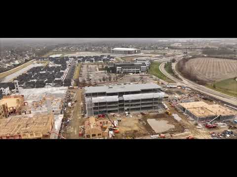
Photo Gallery: