Kurtis Manswell
Kurtis Manswell
Part 107 Certified Pilot
- 3D Rendering
- Aerial Inspections
- Drone
- Construction
- Mapping
- Roofing Inspections
- 3D Rendering
- Aerial Inspections
- Drone
- Construction
- Mapping
- Roofing Inspections
- 3D Rendering
- Aerial Inspections
- Drone
- Construction
- Mapping
- 3D Rendering
- Aerial Inspections
- Drone
- Construction
- Mapping

About:
At EvoMap Solutions, we provide advanced aerial mapping, imaging, and data solutions tailored for construction, real estate, and infrastructure projects. Using state-of-the-art drone technology, we deliver high-resolution imagery, 2D orthomosaic mapping, 3D modeling, and construction progress monitoring, empowering businesses with the accuracy and insights they need to make informed decisions. Our Mission: Our mission is to elevate project oversight, improve efficiency, and reduce costs by delivering reliable, high-quality aerial data. We are committed to precision, innovation, and professionalism, ensuring our clients receive actionable insights that drive success. What We Offer: - Construction Progress Monitoring: Regular aerial updates for accurate site tracking. - 2D & 3D Mapping: High-resolution orthomosaics. - Aerial Inspections: Safe, efficient assessments of hard-to-reach structures. - Real Estate Marketing: Stunning aerial visuals, virtual tours, and property showcases. Why Choose EvoMap Solutions? With a strong commitment to quality and client satisfaction, EvoMap Solutions combines industry expertise with cutting-edge drone technology to deliver results that matter. Our tailored services cater to construction managers, developers, and real estate professionals who require precision,efficiency, and reliability in their aerial data solutions. Partner with EvoMap Solutions and take your projects to new heights! Based in Union City, GA Contact Us: 404-750-3787 Email: EvoMapSolutions@gmail.com
Equipment:
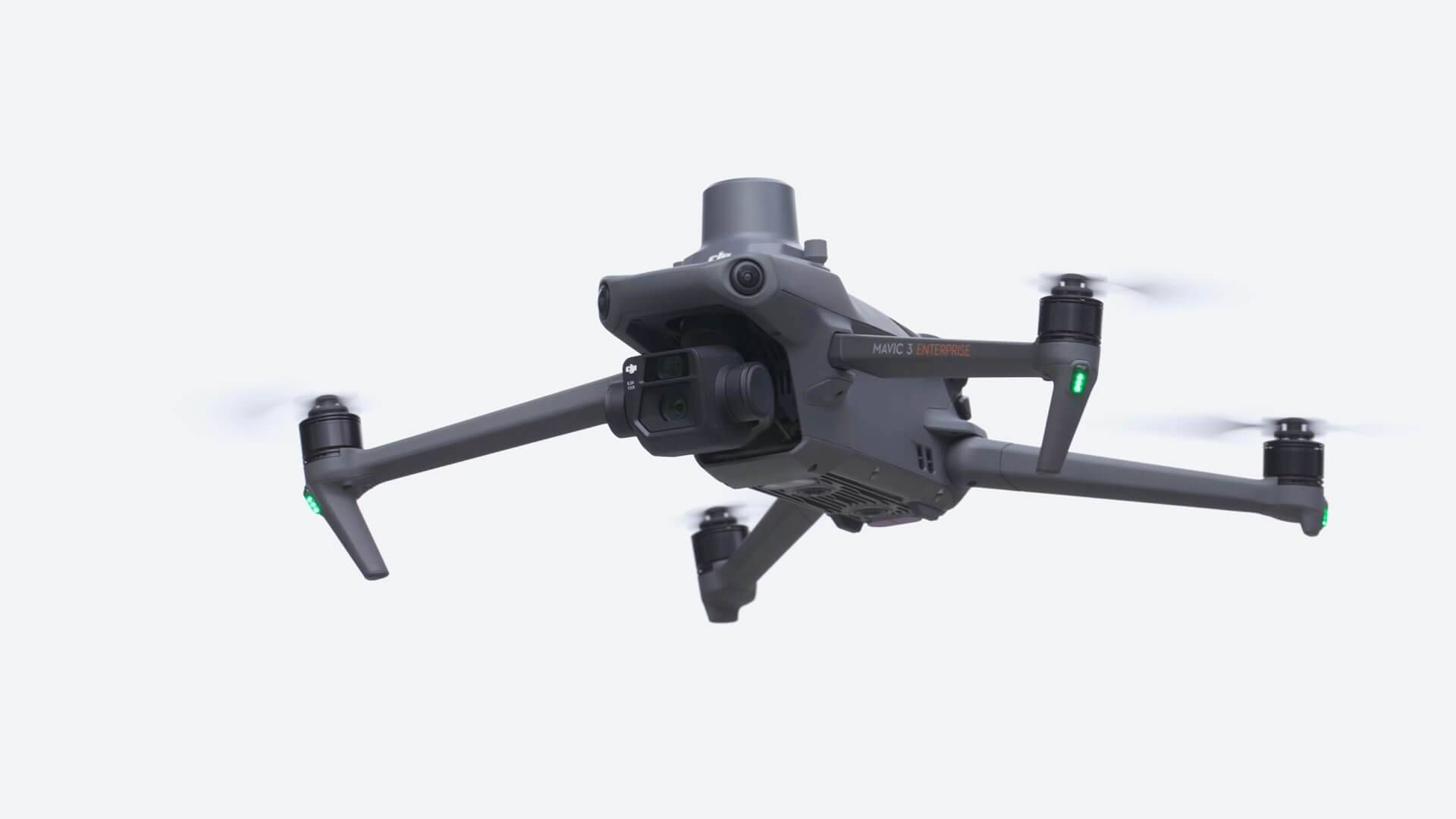
Mavic 3 Enterprise w/ RTK Module
Manufacturer: DJI
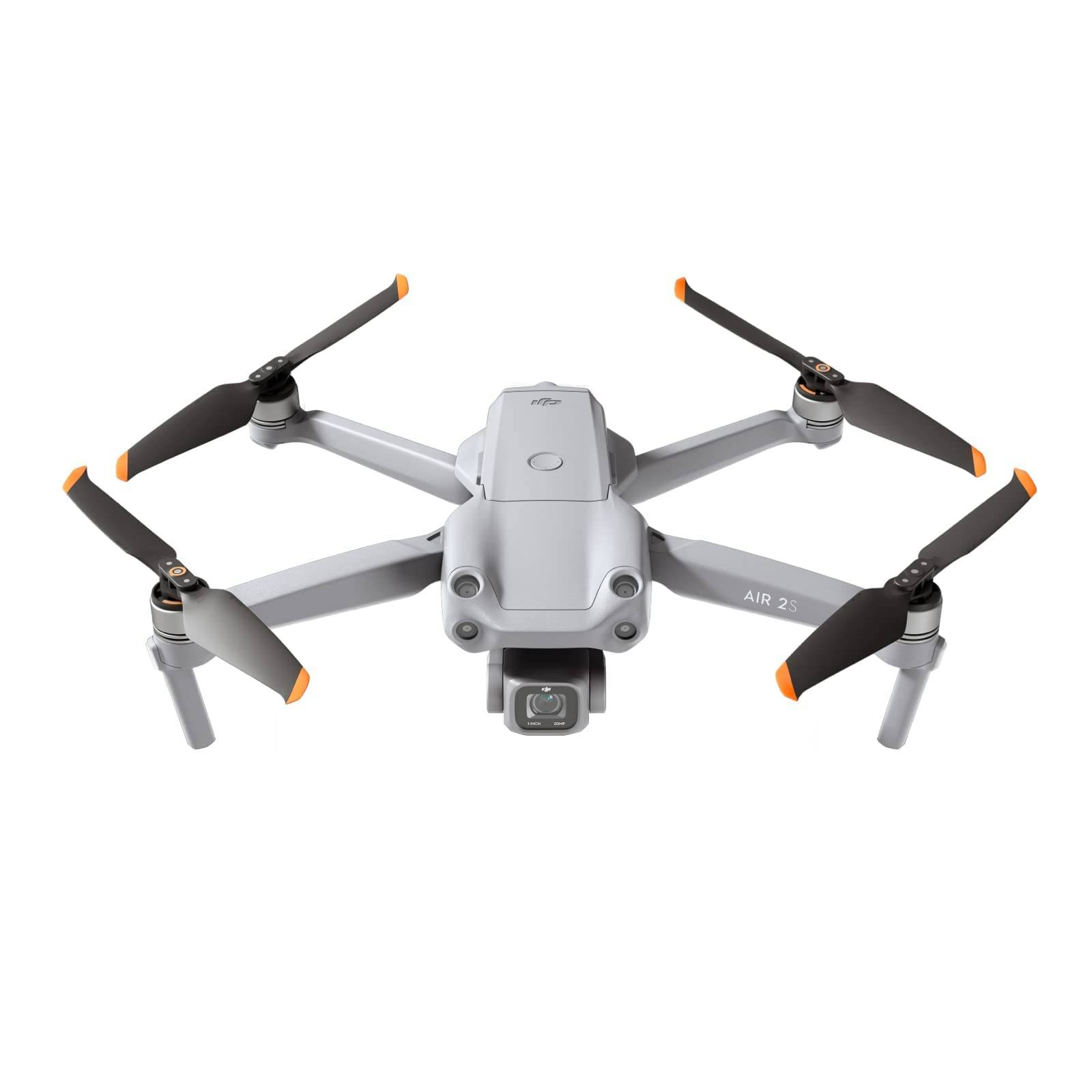
Air 2S
Manufacturer: DJI
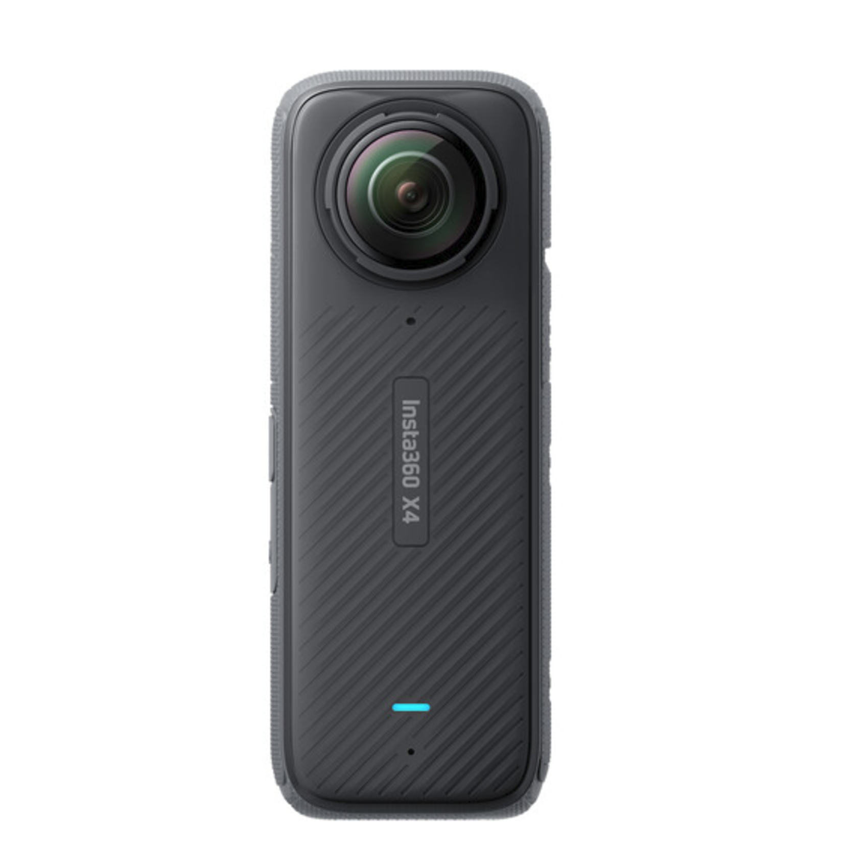
X4
Manufacturer: Insta360