Scott Oberg
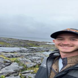
Scott Oberg
Geospatial Scientist
- 3D Rendering
- Agriculture
- Drone
- Environmental Monitoring
- Infra-Red Photography
- Mapping
- Roofing Inspections
- Aerial Inspections
- Event Filming
- Law Enforcement
- Real Estate
- Search & Rescue
- Urban Planning
- 3D Rendering
- Agriculture
- Drone
- Environmental Monitoring
- Infra-Red Photography
- Mapping
- Roofing Inspections
- Aerial Inspections
- Event Filming
- Law Enforcement
- Real Estate
- Search & Rescue
- Urban Planning
- 3D Rendering
- Agriculture
- Drone
- Environmental Monitoring
- Infra-Red Photography
- Mapping
- Roofing Inspections
- Aerial Inspections
- Event Filming
- Law Enforcement
- Real Estate
- Search & Rescue
- Urban Planning
- 3D Rendering
- Agriculture
- Drone
- Environmental Monitoring
- Infra-Red Photography
- Mapping
- Roofing Inspections
- Aerial Inspections
- Event Filming
- Law Enforcement
- Real Estate
- Search & Rescue
- Urban Planning
- 3D Rendering
- Agriculture
- Drone
- Environmental Monitoring
- Infra-Red Photography
- Mapping
- Roofing Inspections
- Aerial Inspections
- Event Filming
- Law Enforcement
- Real Estate
- Search & Rescue
- Urban Planning
- 3D Rendering
- Agriculture
- Drone
- Environmental Monitoring
- Infra-Red Photography
- Mapping
- Roofing Inspections
- Aerial Inspections
- Event Filming
- Law Enforcement
- Real Estate
- Search & Rescue
- Urban Planning

About:
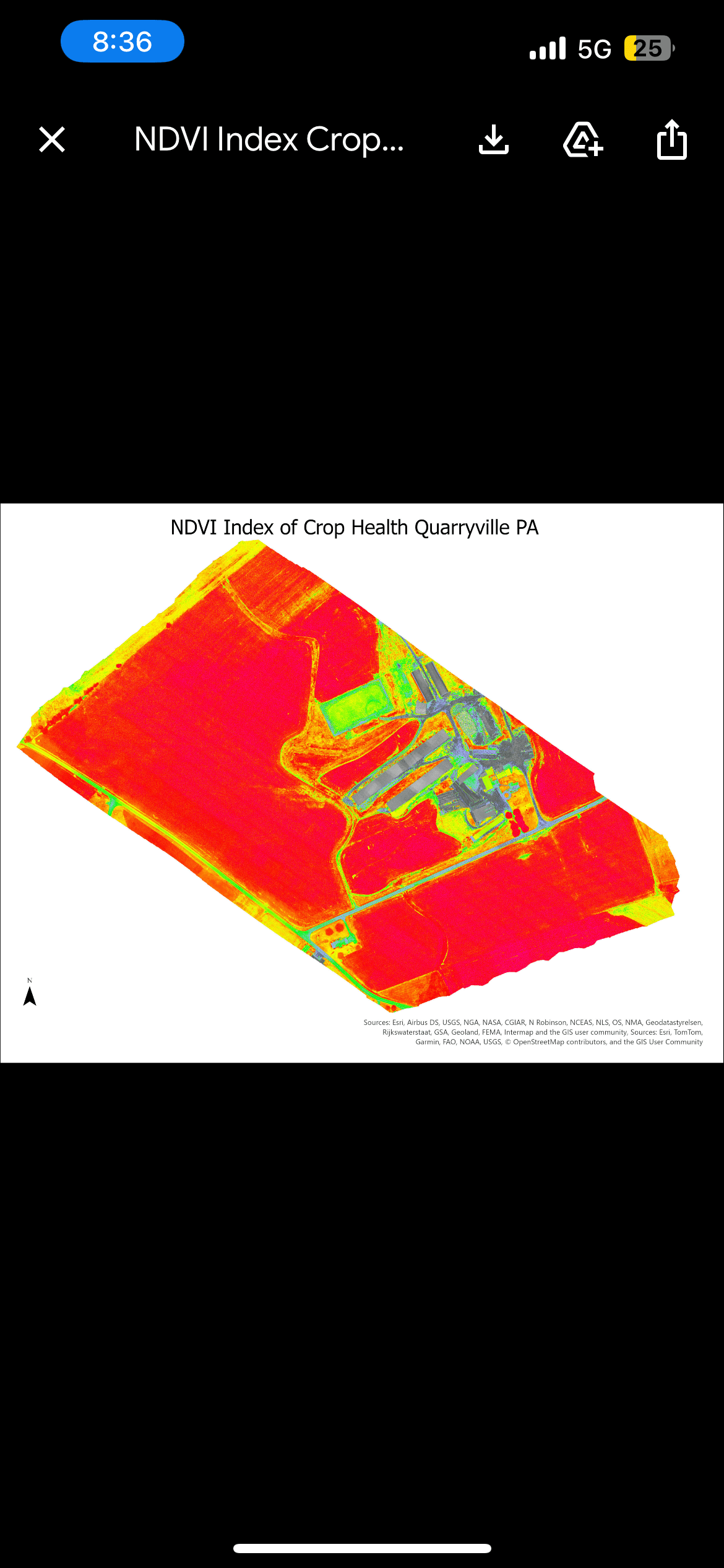
“Experienced Drone Pilot and Geospatial Scientist Specializing in Advanced Mapping and Analysis” I am a licensed drone pilot with a bachelor’s degree in geospatial science and over five years of experience in aerial data collection and analysis. My expertise lies in creating high-resolution orthomosaics, detailed 3D maps, and providing advanced geospatial insights for various industries. Equipped with a state-of-the-art multispectral drone, I specialize in agricultural imaging, real estate videography, and search and rescue operations. My background as a veteran has honed my precision, reliability, and commitment to excellence in every mission. Whether you need cutting-edge mapping solutions, real estate visuals, or critical data for specialized applications, I bring a unique combination of technical expertise, advanced equipment, and a dedication to delivering top-tier results. Let’s discuss how I can help you achieve your goals with the power of drone technology.
Equipment:
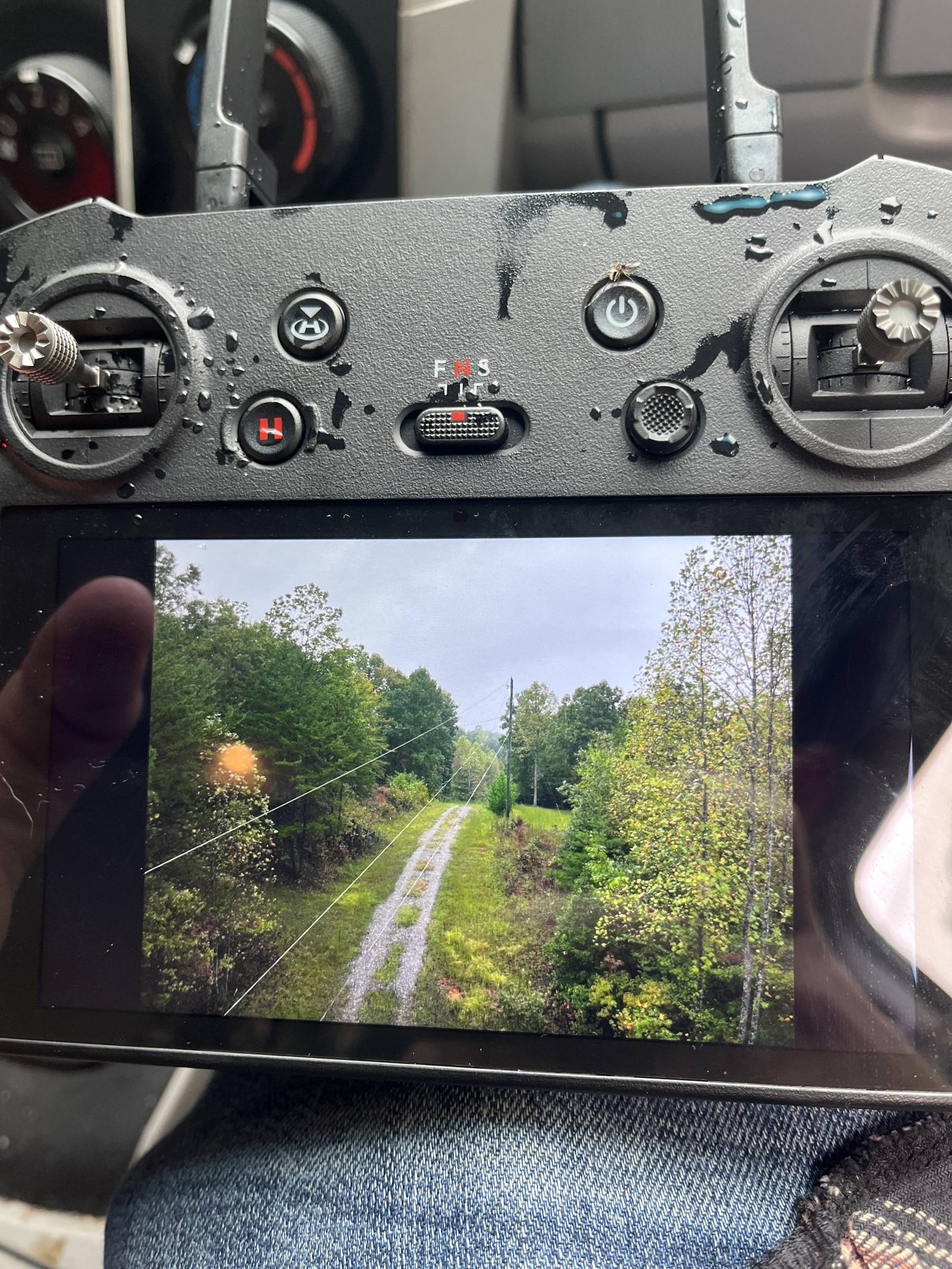
DJI Controller
Manufacturer: DJI

DJI Software
Manufacturer: DJI
5x Batteries Mavic 3 Enterprise
Manufacturer: DJI
Mavic 3 Enterprise Multispectral
Manufacturer: DJI
Service Area:

Video Gallery:
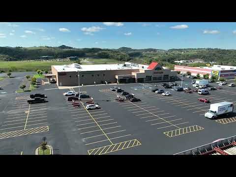
Photo Gallery: