Featured NewsProduct NewsSoftwareGeoCue Sets the Standard for Geospatial Solutions
09 October 2023
The Team at GeoCue delivers more than the best hardware and software solutions.
As the geospatial industry continues to advance rapidly, one name stands out as the professional choice in geospatial data processing software: GeoCue. Since 2003, GeoCue has earned a reputation for setting the standard in geospatial hardware and software solutions. Made in the U.S.A., GeoCue's commitment to excellence shines through its TrueView LiDAR portfolio, LP360 LiDAR & photogrammetry 3D point cloud software, and the unmatched service and support embodied by the GeoCue staff.
But what sets the company apart from other geospatial providers? Its combination of high-quality solutions, seamless hardware integration, cutting-edge software offerings, and unwavering post-sales support, has solidified GeoCue as a trusted partner for geospatial professionals worldwide.
These four essential principles of added value distinguish GeoCue: Pre-Sales Expertise, Hardware Integration, Software, and Post-Sales Support. Through these pillars, GeoCue has successfully positioned itself as a trusted partner for customers looking for high-quality and seamless geospatial solutions.
Putting the Customer First
The foundation of GeoCue's success lies in its ability to understand and assess each customer's unique needs thoroughly. Investing in LIDAR sensors can be complex, especially for non-expert customers. To address this, GeoCue's team guides customers in selecting the most suitable and profitable geospatial solutions for their businesses. By analyzing the type of projects, the drones used, and the desired deliverables, GeoCue ensures that each customer receives a personalized solution. The company offers various options, including purchase and rental, to accommodate different requirements.
Since LiDAR remains relatively new, the GeoCue team conducts a comprehensive analysis for their customer’s requirements and objectives. This proactive approach allows GeoCue to suggest the most suitable Lidar payload and provide a tailored solution that aligns perfectly with the client's needs.
According to Vincent Legrand, the vice president of sales, putting the customers’ needs first is paramount to success at GeoCue. “In today's increasingly crowded LiDAR market, customers are faced with a multitude of sensor options to select from,” Legrand explains. “The challenge lies in ensuring they possess the most suitable tool for their specific task. Rather than focusing solely on making a sale, we differentiate ourselves by providing a comprehensive analysis of our client’s requirements. Through this approach, we gain a profound understanding of their needs, enabling us to precisely offer the right solution for their projects.”
Hardware Integration: Drone LiDAR and Imagery Sensors
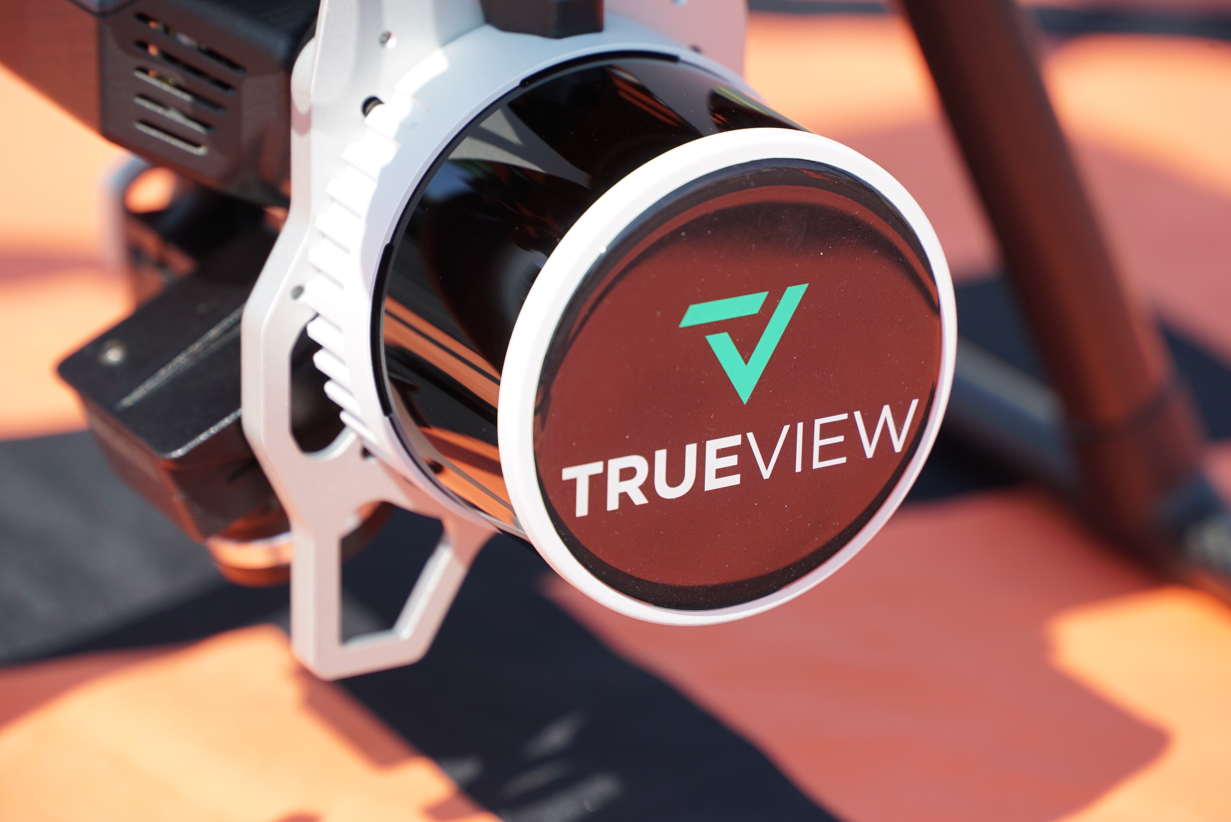
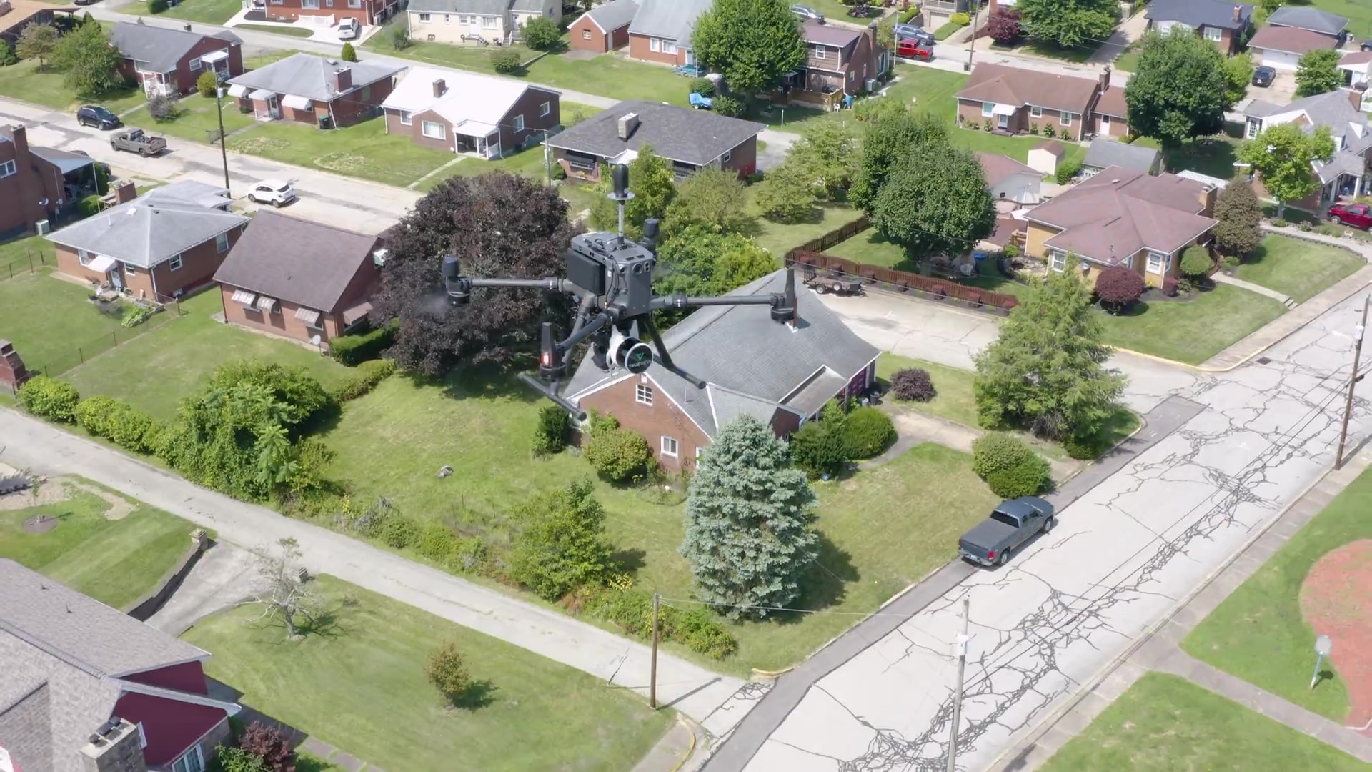
GeoCue understands that a LIDAR payload is more than just a sensor; it's a combination of key components that impact data quality. To achieve high-quality and repeatable geospatial data outputs, GeoCue ensures seamless integration of all TrueView payload components. By partnering with best-in-class suppliers GeoCue guarantees reliability, efficiency, and data consistency. This, combined with their extensive experience and expertise in payload integration and data processing, sets their solutions apart from competitors.
Clients can expect significant benefits from using GeoCue's TrueView solutions. The company offers a seamless workflow, eliminating the need to use multiple software platforms. From data collection to deliverables, GeoCue ensures data quality and repeatability, which are crucial factors for success in geospatial projects.
Furthermore, it is important for GeoCue customers to know that their hardware is designed and assembled in the United States. This localized approach allows GeoCue to provide swift and responsive customer support, leading to improved customer satisfaction.
“Our commitment to hardware integration goes beyond just words,” says Madelyne McNab, director of business development. “When we say, ‘designed and assembled here in the States,’ we mean that our team is hands-on in the physical assembly process. This offers us a profound understanding of our product's manufacturing intricacies, enabling us to offer unparalleled client support and efficient issue diagnosis. This sets us distinctly apart from our competitors. We don't just assemble parts; we meticulously integrate, embed, and calibrate them into our hardware. It gives us a deeper, more personal level of touch with the hardware that we're delivering.”
Software: Putting Your Data to Work
GeoCue's LP360 software is a standout among competitors due to its unique workflow and features. With 20 years of experience in point cloud processing, LP360 integrates the entire process from data collection to final deliverables. This comprehensive approach streamlines operations for customers, saving time and effort typically spent on navigating between different software solutions.
Unique functionalities such as LPLAS, which optimizes the visualization of point clouds, and the 3D Accuracy module, enabling precise data control and adjustments, have garnered positive feedback from customers. Additionally, the latest release of LP360 Cloud modules further enhances the customer experience by facilitating the streaming of point clouds.
Legrand understands that offering point cloud processing software is not unique to GeoCue. “Our distinction lies in how we approach it,” he explains. “Our software, LP360, stands out through its optimization for all payloads. Continuously evolving, we introduce novel solutions and modules, such as LPLAS, LP360 Cloud, and PowerSearch, all geared toward enhancing end-user productivity. What distinguishes us further is the cohesive synergy between hardware and software development. We don't just provide an all-encompassing software ecosystem, but we also manufacture the hardware. It's this unique combination of hardware and software innovation that significantly elevates the experience for our users.
Continuing Service After the Sale
GeoCue's commitment to customer success extends well beyond the initial implementation. The company provides ongoing support to clients, offering technical expertise and assistance with both hardware and software aspects.
“Our commitment to customer support stands as one of the finest in the industry,” reveals McNab. “Over the past two decades, this commitment has only grown stronger. Our history speaks to the ongoing enhancement of our support team. Our support representatives are not mere operators; they are skilled geospatial experts. This means that each interaction extends beyond a simple conversation – whether troubleshooting hardware or software matters, they possess a profound understanding of the tools to resolve any issue comprehensively.
GeoCue's best-in-class post-sales support is exemplified by their sales professionals' dedication to understanding customer applications and needs. With a massive customer base of loyal clients, GeoCue maintains long-term relationships, ensuring that customers are continuously equipped with the right tools to stay profitable and competitive.
In addition, GeoCue conducts regular complimentary training sessions, demonstrations, and workshops on-site and online to equip customers with the necessary knowledge and skills to maximize their geospatial investments. These sessions are conveniently located at the headquarters in Huntsville, Alabama, or offices in Siegen, Germany, Toulouse, France, or São Paulo, Brazil.
Details Make the Difference
GeoCue's focus on added value through Pre-Sales Expertise, Hardware Integration, Software, and Post-Sales Support distinguishes them as a leading provider of geospatial solutions. Their commitment to understanding customer needs, ensuring seamless hardware integration, offering comprehensive software solutions, and providing ongoing support sets the benchmark for the geospatial industry. As the geospatial industry continues to evolve, GeoCue's commitment to excellence ensures that its customers can rely on innovative and tailored geospatial solutions for their evolving needs.
Learn More
