
[Following content courtesy of SPH Engineering press office]
02 October 2024
In July 2023, a boat with three people on board sank in Laguna San Pablo, one of the largest and deepest lakes in Ecuador. The local search and rescue team couldn't locate the wreck to recover the bodies. The diving team contacted Aerial Development Services (ADS) for help. ADS decided to test SPH Engineering's drone-based dual-frequency echo sounder, which is known for its ability to provide remote underwater mapping.
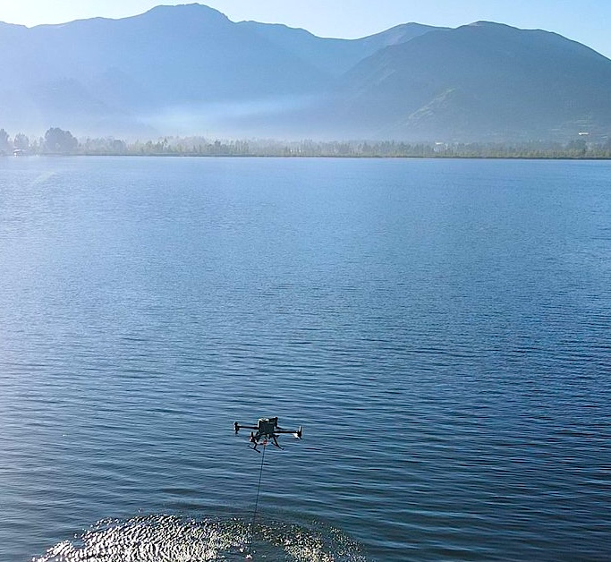
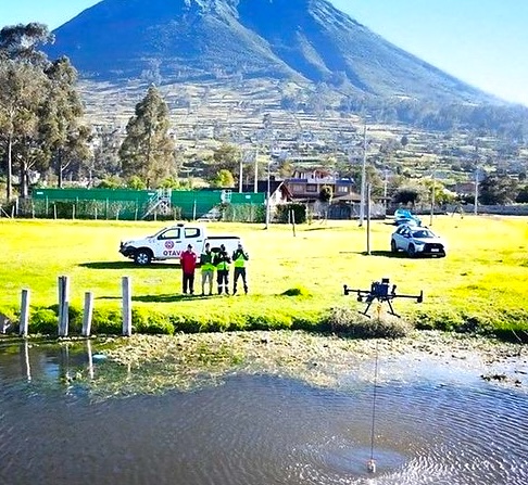
Drone DJI RTK M300 Integrated with SPH Engineering Echo Sounder System during the survey over the lake.
Challenges
• The search area was located 450 meters from the shore. This requires a solution that would effectively work over a substantial distance.
• The choice of using SBES over MBES technology. SBES doesn't offer the same level of coverage in a single pass. As a result, detecting the wreck with SBES required a much denser survey grid to achieve comparable results.

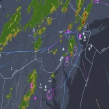
The satellite picture shows the distance between the shore and the searched object.
Solution and Outcome

Flight mission planning in UgCS software.
To calculate the separation between lines for the survey, the estimated depth of the lake in the survey area and the echo sounder beam width of 7° were taken into account. The calculated footprint of the beam on the bottom was 4.28 meters. The separation used in the mission was 5 m to assure almost 90% coverage in the survey area and close the 0 probability of missing the target.
The check line was included in the mission.
During the survey, ADS closely monitored real-time data from the echo sounder to detect enhancements of two meters on the southeastern side of the search area, which matched the boat's dimensions . The results were shared with the rescue team, who confirmed the boat was in that area. The team's ability to interpret and use the data was fundamental to the mission's successful outcome.
This mission required precise control and coordination to ensure the drone could maintain stability throughout the operation. The echo sounder system provided the necessary data to precisely pinpoint the location of the wreck. Despite all the limitations of SBES, it has proven to be an effective tool in the hands of skilled operators.

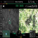
Processed data in Hydromagic software showing the anomaly and the presence of the object.

3D model of the surveyed area, showing the found object.
Conclusion
As drone and echo sounder technology continues to develop, its applications in various fields will expand as it offers new solutions to complex tasks. The ADS team's result will serve as a precedent for future operations with similarly challenging conditions. It highlights the significance of creative thinking, adaptability, and expertise.