
27 August 2024
The Discovery Channel documentary Finding Amelia was recently released, featuring an expedition in which the SPH Engineering team was honored to participate. The film details the expedition aimed at uncovering the fate of Amelia Earhart, one of aviation's greatest unsolved mysteries.
Amelia Earhart disappeared over the Pacific Ocean in 1937, during an attempt to become the first woman to fly around the world. Despite numerous search efforts, neither she nor her aircraft were ever found.
Over the decades, various theories and expeditions have attempted to discover the truth behind her disappearance. The recent Finding Amelia documentary by Discovery Channel marks the latest effort to solve the puzzle. This story began nearly two years before the expedition when based on SPH Engineering’s successful operations in Greenland, the company was invited to join the search for Amelia Earhart’s aircraft in the dense jungles of Papua New Guinea on the island of New Britain.
Planning and Testing for the Mission
Preparing for this mission required meticulous planning. In February 2021, the team conducted experimental detection of aircraft engines using drone-mounted magnetometers, laying the groundwork for the technology that would later be used in the field. These experiments were crucial, leading the team to request satellite imagery and elevation maps of where the expedition was planned. This map was essential for studying the terrain and preparing for the mission. According to the analysis, the average expected vegetation height of 10m-15m appeared to allow the detection of aircraft engines using a magnetometer.
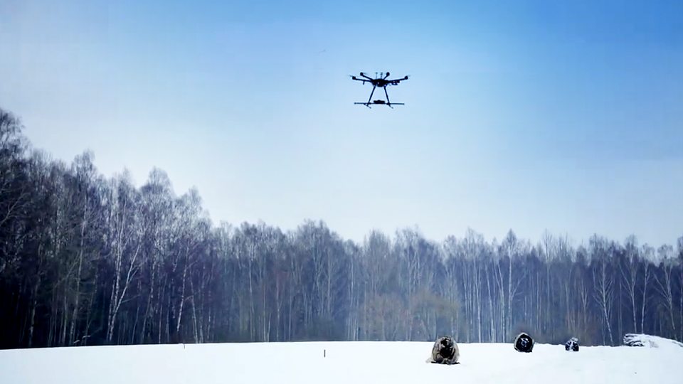
Experimental detection of aircraft engines using drone-mounted magnetometers in the SPH Engineering Test Field.
The Drone Operation
In 2021, the SPH Engineering Team arrived on-site with a suite of drones equipped with magnetometer, LiDAR, and photogrammetry tools. During the search, a small drone equipped with a camera was first used to create precise maps of the search area. These maps were essential for planning subsequent flights. The team then conducted LiDAR scanning from a safe altitude to build Digital Surface Models (DSM) and Digital Terrain Models (DTM) to plan magnetic surveys.
The next step was to conduct the survey using a drone-based magnetometer. The Team found that while the average height of trees allowed for the detection of aircraft engines using a magnetometer, the presence of extremely tall trees made magnetic flight planning difficult.
"In contrast to what we saw in satellite data available before the expedition, the average height of the trees was a bit higher," said Director of Special Projects from SPH Engineering, Janis Kuze. "But the main problem was real 'skyscrapers' towering up to 60 meters. These extremely high trees were totally missed in satellite elevation data. Despite the challenges, we had relative success detecting magnetic anomalies over aa B-17 bomber crash site."
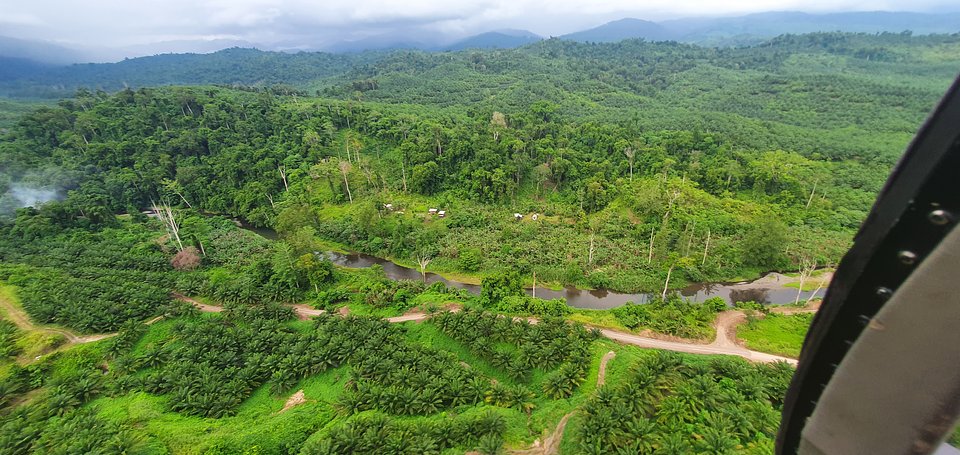
Helicopter view of the surveyed area.
SPH Engineering primarily focused on the magnetometers, aiming to detect aircraft engines. However, due to the high trees and the limited amount of magnetic ferrous metal in airplane engines, reliable detection proved difficult. Although the technology is functional, it comes with clear constraints for such operations.
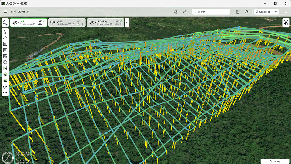
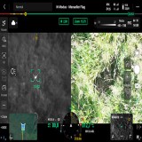
Planned routes for LIDAR scans in UgCS flight planning software.
Facing the challenges with drone-based magnetic surveys, the Team decided to switch back to LiDAR. It performed exceptionally well. Dozens of low-altitude LiDAR flights were conducted, using previous scans for flight planning, to build a detailed map of the ground surface beneath the trees. The results revealed what is believed to be hidden Japanese troop trails and something resembling the shape and size of Amelia Earhart's aircraft, the Lockheed Electra.
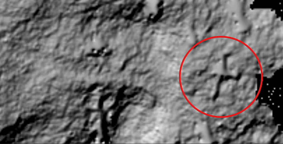
Processed LiDAR data showing the object resembling the shape and size of Amelia Earhart's aircraft.
Despite the challenges, the outcomes were extremely positive from a technological perspective. SPH Engineering Team managed to achieve significant advancements in both our technology and methodology, which enhanced the capabilities of the technology. This expedition also resulted in a unique and invaluable experience, equipping the Team with the necessary skills and insights needed for future missions in similarly complex environments. This progress is essential as SPH Engineering continues to push the boundaries of what is possible in their field.
"We view the expedition as a success on multiple levels," said SPH Engineering CEO Alexey Dobrovolskiy. "It gave us invaluable experience in extreme conditions and allowed us to test and enhance our technologies. We are truly thankful for the opportunity to contribute to such a historic mission and look forward to being part of similar expeditions in the future."
About SPH Engineering
SPH Engineering is an expert in drone technology development, providing UAV software solutions, integration services, and custom development to advance drone applications for surveying, data collection and processing, and entertainment. Founded in 2013 in Latvia (EU), SPH Engineering has a global customer and partner network in over 150 countries.