
22 January 2026
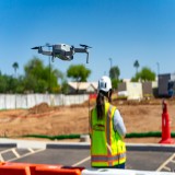
In 2024, King Drones, a small, two man operation headquartered in a small Appalachian town, partnered with PNI Sensor Corporation (also known as Protonex), a California based Department of Defense Contractor to develop advanced positioning systems for military drones. The image of a drone as a technological novelty has been rejuvenated by the Russo-Ukrainian war, as the internet is flooded with images of fields covered in fiber-optic cables, and videos of Ukrainian drone operators disabling tanks through VR headsets. It’s arguably the defining aspect of a 21st century battlefield. If not, it is certain that the inverse is true: that war has had the largest impact on the drone industry since the launch of the Phantom 3. Ukraine alone plans to have produced 4.5 million drones domestically, and this excludes the millions of drones bought from established companies, or opportunistic foreign entrepreneurs.
The Problem with GPS
One of the largest issues faced by military drone operators is their reliance on GPS. For a comparatively low cost, the enemy can easily disable or distort GPS, leading drones astray and rendering them essentially useless. This isn’t just an issue faced by drones, either. Special Forces operators, who often have to traverse long distances covertly, are at risk of GPS interference or simple unreliability, as GPS requires a clear line of sight to the sky to be as accurate as possible. T o fix this, engineers at PNI are currently developing the Field Ops Remote T racker, or FORT, a device roughly the size of a Pink Pearl eraser and a couple thousand times the cost.

Sensor Fusion
The greatest difficulty, as one would imagine, is designing the sensor the size of an eraser to be accurate enough for military application. Considering the astronomical importance of accurate positioning, it’s not a task either company takes lightly. GPS-independent relative positioning systems are not necessarily new technology. Apollo 11, for instance, used an inertial measurement unit, a series of gyroscopes and accelerometers used to estimate relative position. Apollo engineers employed a “brute-force” approach to compensating for error: simply building the sensor large enough to stave off any significant positioning error long enough for the crew to complete their journey and splash down in the Pacific. What is new technology is the unique approach taken by King Drones and PNI. Sheer size is obviously not an option for the FORT, which needs to be small enough to fit on a drone or in a special operator’s pocket. Instead, the FOR T employs “sensor fusion,” a machine learning model downloaded onto the FORT to correct for the exponentially compounding error that is the inherentnature of relative positioning. In layman’s terms, the FORT uses AI to detect when one of its sensors is giving inaccurate information.
Machine Learning and Artificial Intelligence
The terms “artificial intelligence” and “machine learning” bring to mind things like ChatGPT, or Google Gemini. These massive artificial intelligence models dwarf the comparatively simple model utilized by the FORT. The FORT relies on a neural net regression. While artificial intelligence may be considered 21st century technology, the concept of a regression has existed in mathematics for centuries, notably being proposed by Gauss in the 18th century to predict planetary movement. Simplified, a regression creates a "line-of-best-fit,” based on given data (training) that can then be used in the future to predict outcomes with relative accuracy.
The Training Process
For PNI and King Drones, the process of training the AI model begins hands-on, with a range of different drones. The FORT is attached to a drone and instructed to record data from its internal sensors, whilst also recording GPS position and video. A drone operator flies the drone in any range of patterns. The more variety and data, the better. A lack of variety can lead to “overfitting,” where the model is given too much similar data and becomes biased. Once the flight is over, the FORT is removed from the drone and all captured data is uploaded to a computer. Once the data is uploaded and sorted, it is ready for “truth mapping.”
Truth Mapping
Truth mapping is arguably the most important and tedious part of the training process. Using a program developed at PNI, an engineer is able to watch, on a map, where the FORT thinks it was, where GPS says it was, and the video footage captured from the flight. Using a combination of GPS and video, the engineer plots out the true path the drone followed during its flight. It is a slow and tedious process, often taking up to an hour for an engineer to truth map a 10 minute video. GPS tends to be reliable enough, but the video footage provides an extra layer of safety. After much experimentation, empty parking lots were found to be the best location to fly, due to the abundance of parking lines to serve as visual landmarks. As well as being easily visible on camera, they are easily distinguishable from the satellite imagery that the mapping is done overtop of and are rarely obstructed by trees. Much of the current data comes from a church parking lot, where hundreds of flights have been conducted (with permission). The church is a particularly convenient place to fly as there arerarely any cars or people present during the week. Once data is truth mapped, it is ready for the final stage, training.
Training
Regressions deal with inputs and outputs. In this case, the input is the raw data from the sensors and the output is the true path of the drone. Making use of the MatLab Neural Net Fitting toolbox, PNI engineers feed the program both the truth path and raw data, for it to then generate a regression. The regression is then repeatedly tested on different sets of data. The entire training process is slow, but the model is continuously improving as more and more data is being collected for it to train on. Although currently in the early stages of development, the FORT is already able to reliably predict position within 10 meters, a number quickly shrinking.
Going Forward
Development of the FORT continues at a steady pace, with continuous improvement coming to its accuracy. PNI plans for the FORT to have applications beyond UAS, currently working to develop it for US Army Green Berets alongside drones, and potentially on manned aircraft as well. In addition to developing the FORT, PNI continues to manufacture sensors for use by many other corporations, having worked with T eledyne, Samsung, and Nintendo amongst many others. Outside of engineering, PNI is in the process of relocating to a larger Santa Rosa facility. PNI is a small, tight-knit company (with a wonderfully noncorporate atmosphere) so much of the layout is designed around its engineers’ needs.
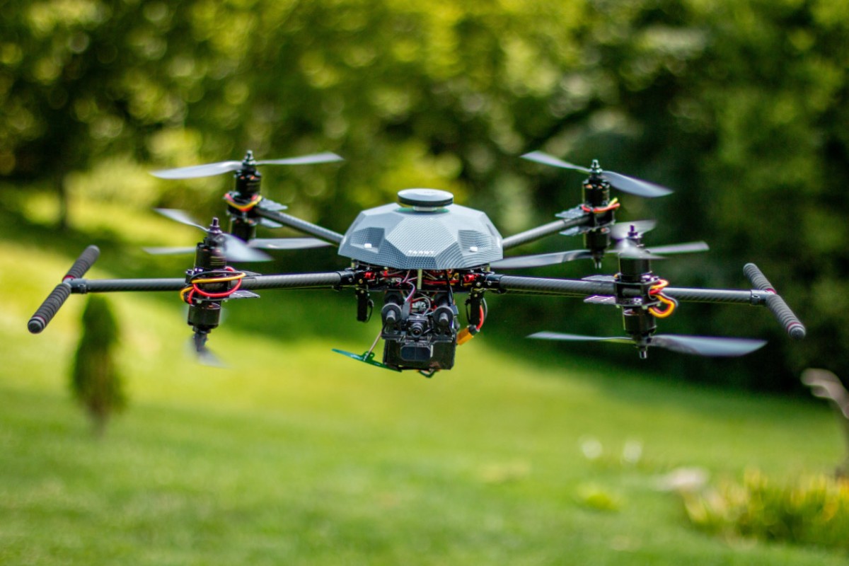
At King Drones, T odd Prince, the company’s founder and sole engineer, hopes to grow the business, having recently launched a website and several social media accounts. King Drones currently focuses on building custom-spec drones for a variety of professional applications. Prince hopes to keep the custom-spec aspect that makes the business unique while also expanding to ready-to-buy products, still handbuilt in his Kentucky workshop. Prince has also expressed interest in pursuing education, both by providing equipment for universities and schools and sharing his unique expertise with the next generation of drone operators.