Denver Cordle

Denver Cordle
Denver Cordle
- Drone
- Photography
- Videography
- Video Editing
- Adobe PhotoShop
- Real Estate
- Videos
- Aerial Inspections
- 3D Rendering
- Mapping
- Cable Inspections
- Commercials
- Construction
- Infra-Red Photography
- Insurance Inspections
- Maritime
- Oil & Gas Industry
- Power Line Inspections
- Roofing Inspections
- Search & Rescue
- Security
- Urban Planning
- Level Ii Thermographer
- Thermography
- Photogrammetry
- Volumetrics
- Modeling
- Residential Property Inspector
- Commercial Property Inspector
- Drones
- Geomatics
- Gps
- Autocad
- Linux
- Web Administration
- Ortho
- First Responder Experience
- Inspection Experience
- Photo Editing
- Thermal Inspection Certified
- Cell Tower Inspections
- Environmental Monitoring
- Game Tracking
- Data Management
- Fpv
- Qgis
- Faa Part 107 Compliant Operations
- Airspace Assessment And Authorization (laanc)
- Pre-flight Planning And Risk Assessment
- Site Evaluation And Hazard Identification
- Controlled Flight Operations In Commercial Environments
- Structured Capture For Inspection And Documentation Workflows
- Post-flight Data Organization And Delivery
- Mechanical Engineering
- Process Engineering
- Root Cause Analysis
- Failure Analysis
- Repair Procedure Development
- Technical Documentation Review
- Specification Interpretation
- Manufacturing Process Improvement
- Workflow Optimization
- Bottleneck Reduction
- Data Analysis
- Problem Solving
- Validation And Verification
- Continuous Improvement
- Quality-focused Decision Making
- Commercial Photography
- Real Estate Photography
- Lightroom Workflow
- Aerial Video Capture
- Gimbal Operation
- Drone Operations
- Aerial Photography
- Aerial Videography
- Flight Planning
- Location Assessment
- Mission Preparation
- Safe Flight Practices
- Visual Composition From The Air
- Commercial Drone Service Planning
- Drone-based Inspection Support
- Specialty Drone Service Coordination
- Regulatory Awareness
- Airspace Consideration
- Risk Assessment
- Project Management
- Process Planning
- Workflow Development
- Schedule Coordination
- Client Communication
- Vendor Coordination
- Quote Development
- Scope Definition
- Timeline Management
- Task Prioritization
- Budget Awareness
- Documentation Control
- Team Coordination
- Stakeholder Communication
- Logistics Management
- Service Development
- Small Business Ownership
- Problem Escalation
- Decision Making Under Constraints
- Instata360 Camera
- Tactical Maneouvers
- Osha 30 (construction)

About:
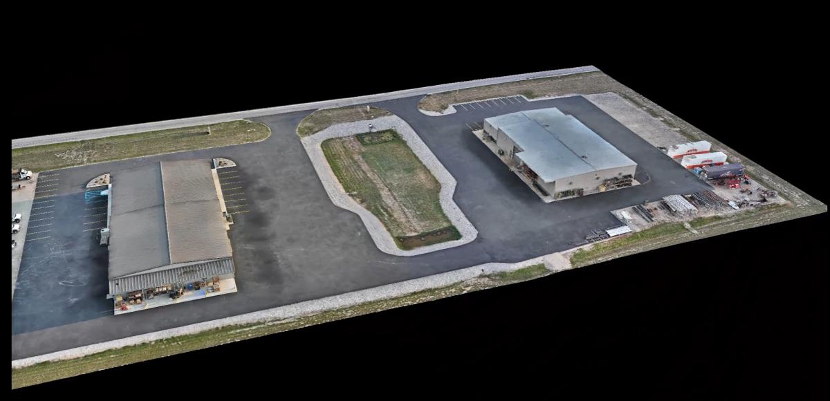
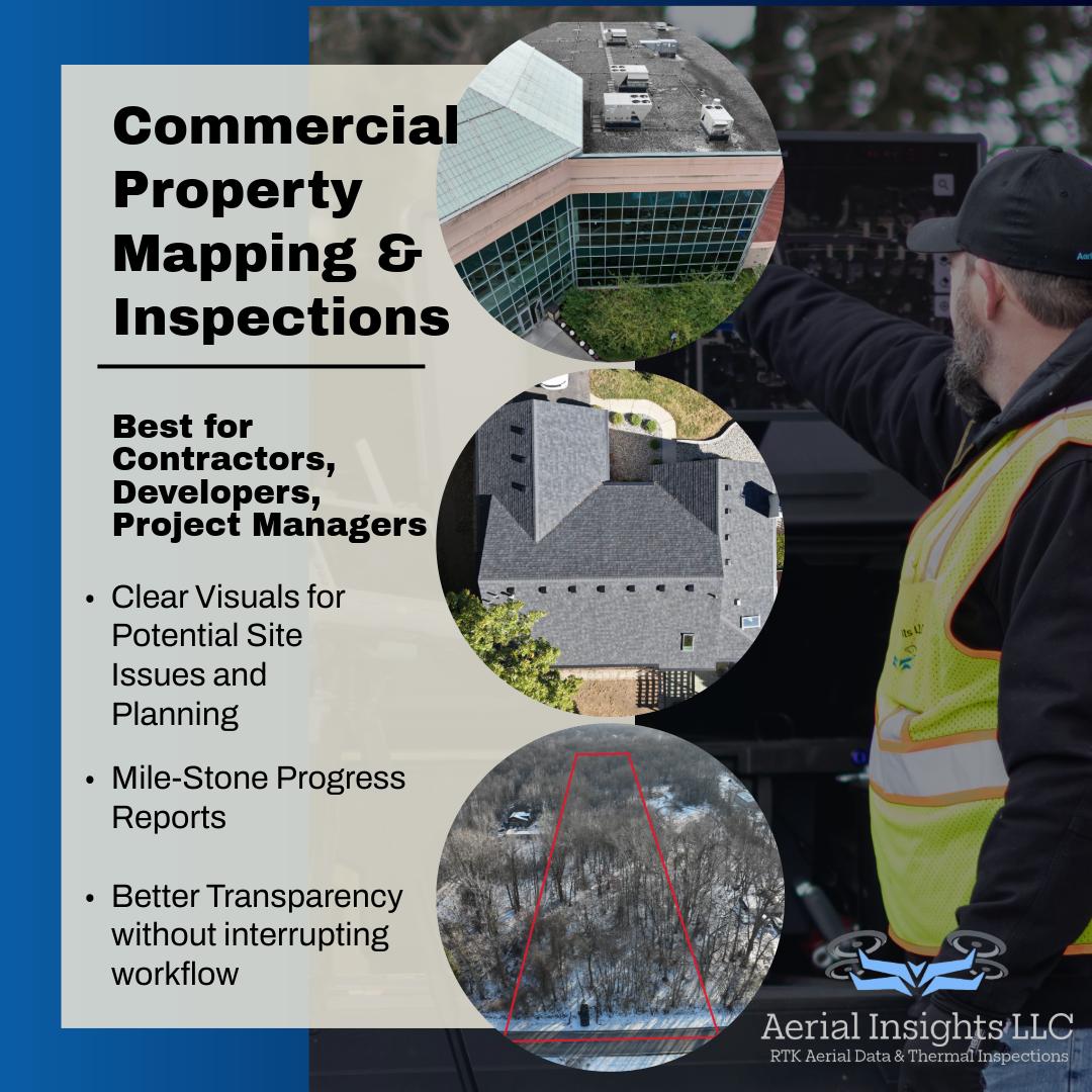
Aerial Insights LLC provides construction documentation, aerial mapping, inspection, and reality capture services throughout Northwest Ohio and Southeast Michigan.
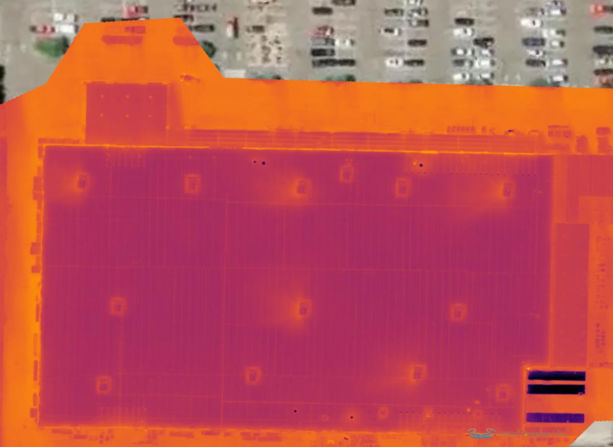
We specialize in helping contractors, developers, and project teams improve visibility across active job sites through organized aerial and ground-based documentation workflows. Services include orthomosaic mapping, 3D photogrammetry, thermal imaging, stockpile and volumetric mapping, interior walkthrough documentation, and hosted project progress portals.
What sets Aerial Insights apart is a strong focus on organization, consistency, and practical construction workflows rather than simply capturing images. Deliverables are designed to support project tracking, stakeholder communication, existing conditions documentation, and long-term historical records throughout the life of a project.
We continue to expand our capabilities in construction reality capture and site intelligence technologies to better support the evolving needs of the construction and infrastructure industries.
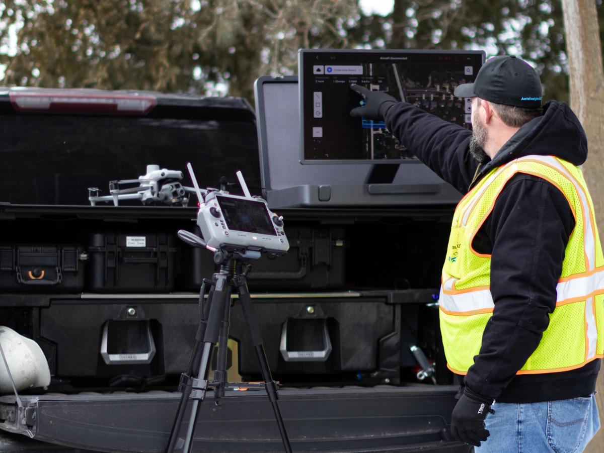
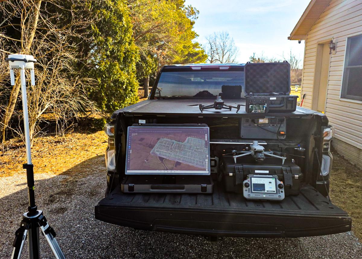
Equipment:
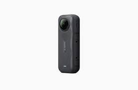
Insta 360 x5
Manufacturer: Insta 360
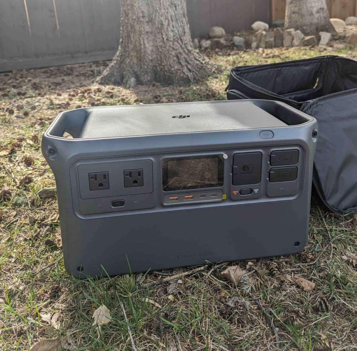
Power 1000 w/fast Charger
Manufacturer: DJI
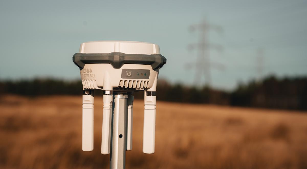
RTK3 Base Station
Manufacturer: DJI
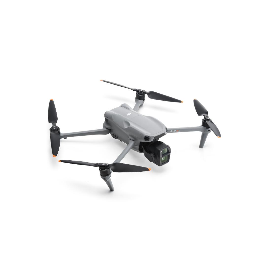
Air 3s
Manufacturer: DJI
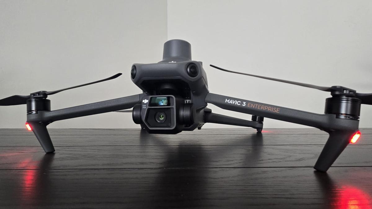
Mavic 3E
Manufacturer: DJI
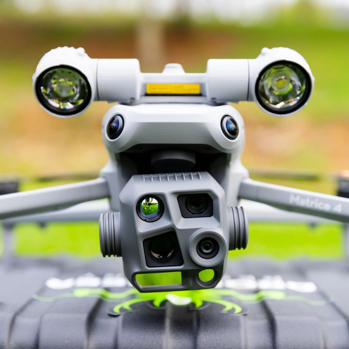
Matrice 4T
Manufacturer: DJI
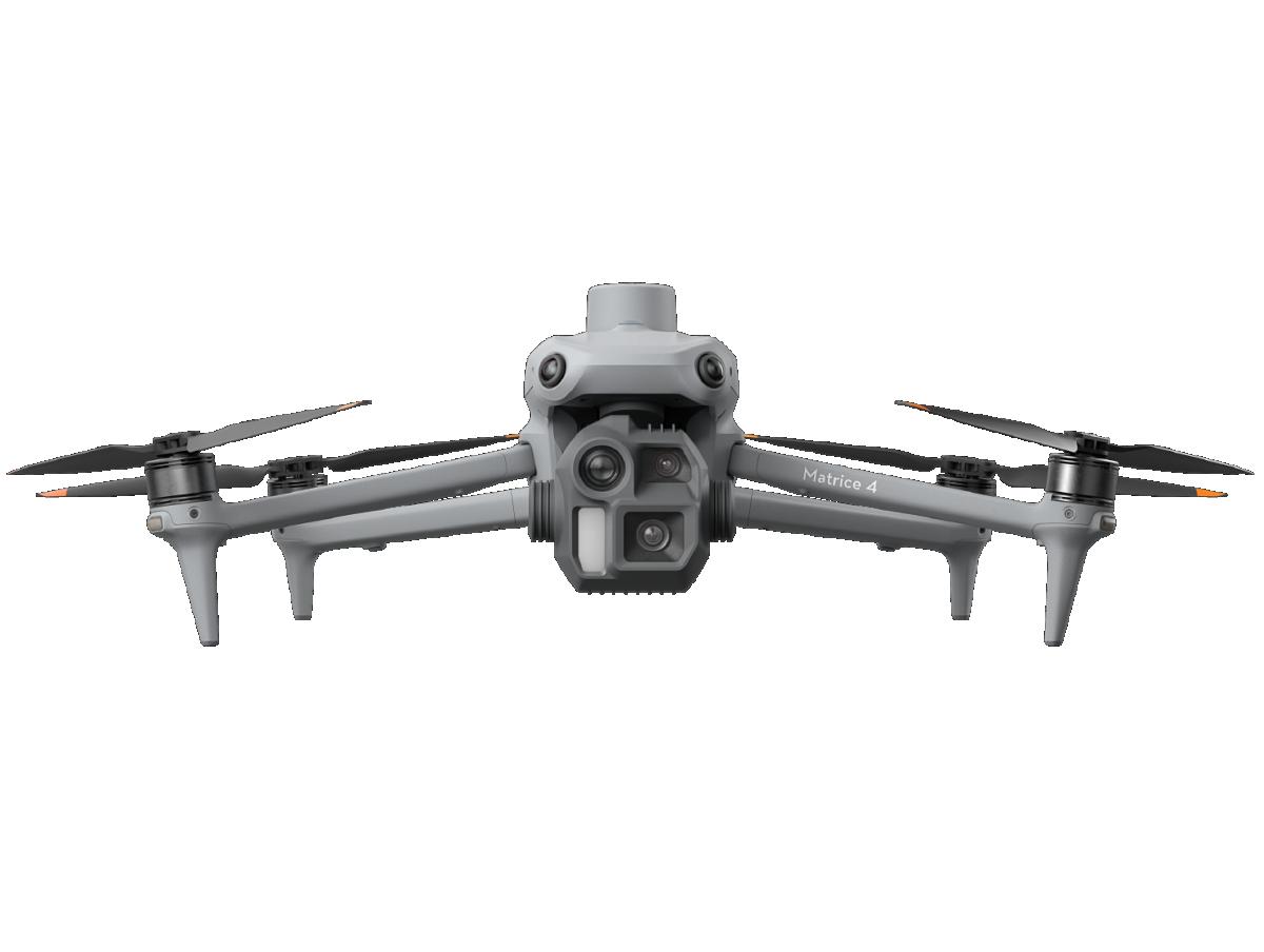
Matrice 4E
Manufacturer: DJI
Service Area:

Video Gallery:
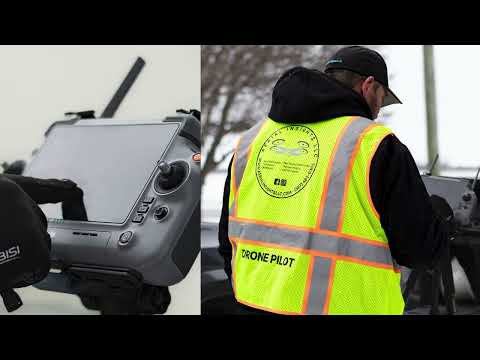
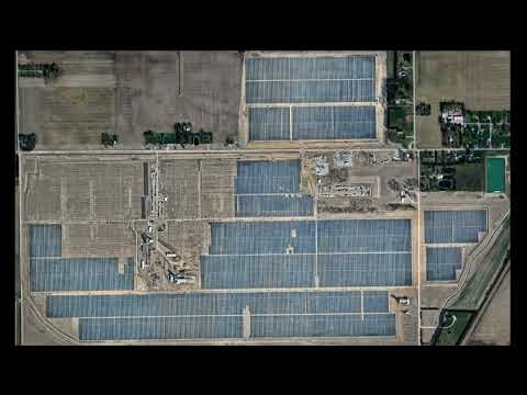
Photo Gallery: