Edward Carrick

Member Since: May 2024
Edward Carrick
Drone Pilot / Engineer
- 3D Rendering
- Construction
- Drone
- Insurance Inspections
- Mapping
- Oil & Gas Industry
- Real Estate
- Photography
- Urban Planning
- Aerial Inspections
- Cable Inspections
- Cell Tower Inspections
- Environmental Monitoring
- Maritime
- Power Line Inspections
- Roofing Inspections
- Wind Turbine Inspections

About:
Currently, the majority of my assignments include automated mapping missions for construction, waste water systems, urban development, advertising, and other industries. I use photogrammetry software to create 2D maps and 3D models of the sites. This data is used for measurements, determining coordinates and elevations, and other purposes.
Equipment:
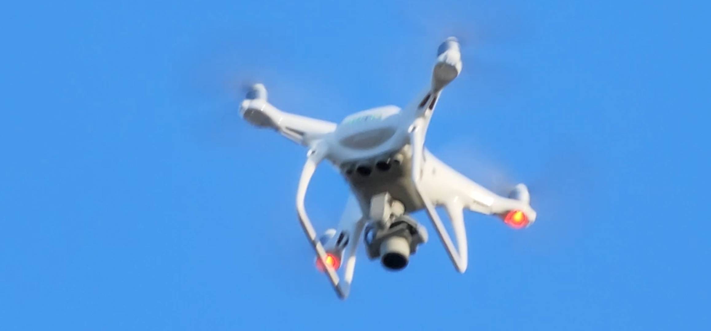
Phantom 4 RTK with RTK Mobile Station
Manufacturer: DJI
Service Area:
