Michael Gradilone

Member Since: April 2022
Michael Gradilone
Fintech Solutions Drone and Aerial Photography
- 3D Rendering
- Aerial Inspections
- Construction
- Drone
- Golf Courses
- Insurance Inspections
- Photography
- Real Estate
- Roofing Inspections
- Search & Rescue
- Video Editing
- Videos
- 3D Rendering
- Aerial Inspections
- Construction
- Drone
- Golf Courses
- Insurance Inspections
- Photography
- Real Estate
- Roofing Inspections
- Search & Rescue
- Video Editing
- Videos
- 3D Rendering
- Advertising
- Aerial Inspections
- Commercials
- Construction
- Drone
- Golf Courses
- Infra-Red Photography
- Insurance Inspections
- Mapping
- Photography
- Real Estate
- Roofing Inspections
- Search & Rescue
- Video Editing
- Videography
- Videos
- 3D Rendering
- Advertising
- Aerial Inspections
- Commercials
- Construction
- Drone
- Golf Courses
- Infra-Red Photography
- Insurance Inspections
- Mapping
- Photography
- Real Estate
- Roofing Inspections
- Search & Rescue
- Video Editing
- Videography
- Videos
- 3D Rendering
- Advertising
- Aerial Inspections
- Commercials
- Construction
- Drone
- Golf Courses
- Infra-Red Photography
- Insurance Inspections
- Mapping
- Photography
- Real Estate
- Roofing Inspections
- Search & Rescue
- Video Editing
- Videography
- Videos
- 3D Rendering
- Advertising
- Aerial Inspections
- Commercials
- Construction
- Drone
- Golf Courses
- Infra-Red Photography
- Insurance Inspections
- Mapping
- Photography
- Real Estate
- Roofing Inspections
- Search & Rescue
- Video Editing
- Videography
- Videos
- 3D Rendering
- Advertising
- Aerial Inspections
- Commercials
- Construction
- Drone
- Golf Courses
- Infra-Red Photography
- Insurance Inspections
- Mapping
- Photography
- Real Estate
- Roofing Inspections
- Search & Rescue
- Video Editing
- Videography
- Videos
- 3D Rendering
- Advertising
- Aerial Inspections
- Commercials
- Construction
- Drone
- Golf Courses
- Infra-Red Photography
- Insurance Inspections
- Mapping
- Photography
- Real Estate
- Roofing Inspections
- Search & Rescue
- Video Editing
- Videography
- Videos
- Drone
- Photography
- Videography
- Video Editing
- Real Estate
- Videos
- Aerial Inspections
- 3D Rendering
- Mapping
- Advertising
- Commercials
- Construction
- Golf Courses
- Infra-Red Photography
- Insurance Inspections
- Roofing Inspections
- Search & Rescue
- Drone
- Photography
- Videography
- Video Editing
- Real Estate
- Videos
- Aerial Inspections
- 3D Rendering
- Mapping
- Advertising
- Commercials
- Construction
- Golf Courses
- Infra-Red Photography
- Insurance Inspections
- Roofing Inspections
- Search & Rescue
- Cable Inspections
- Cell Tower Inspections
- Law Enforcement
- Security
- Wind Turbine Inspections
- Drone
- Photography
- Videography
- Video Editing
- Real Estate
- Videos
- Aerial Inspections
- 3D Rendering
- Mapping
- Advertising
- Cable Inspections
- Cell Tower Inspections
- Commercials
- Construction
- Golf Courses
- Infra-Red Photography
- Insurance Inspections
- Law Enforcement
- Roofing Inspections
- Search & Rescue
- Security
- Wind Turbine Inspections
- Level Ii Thermographer
- Thermography
- Photogrammetry
- Residential Property Inspector
- Commercial Property Inspector
- Surveying

About:
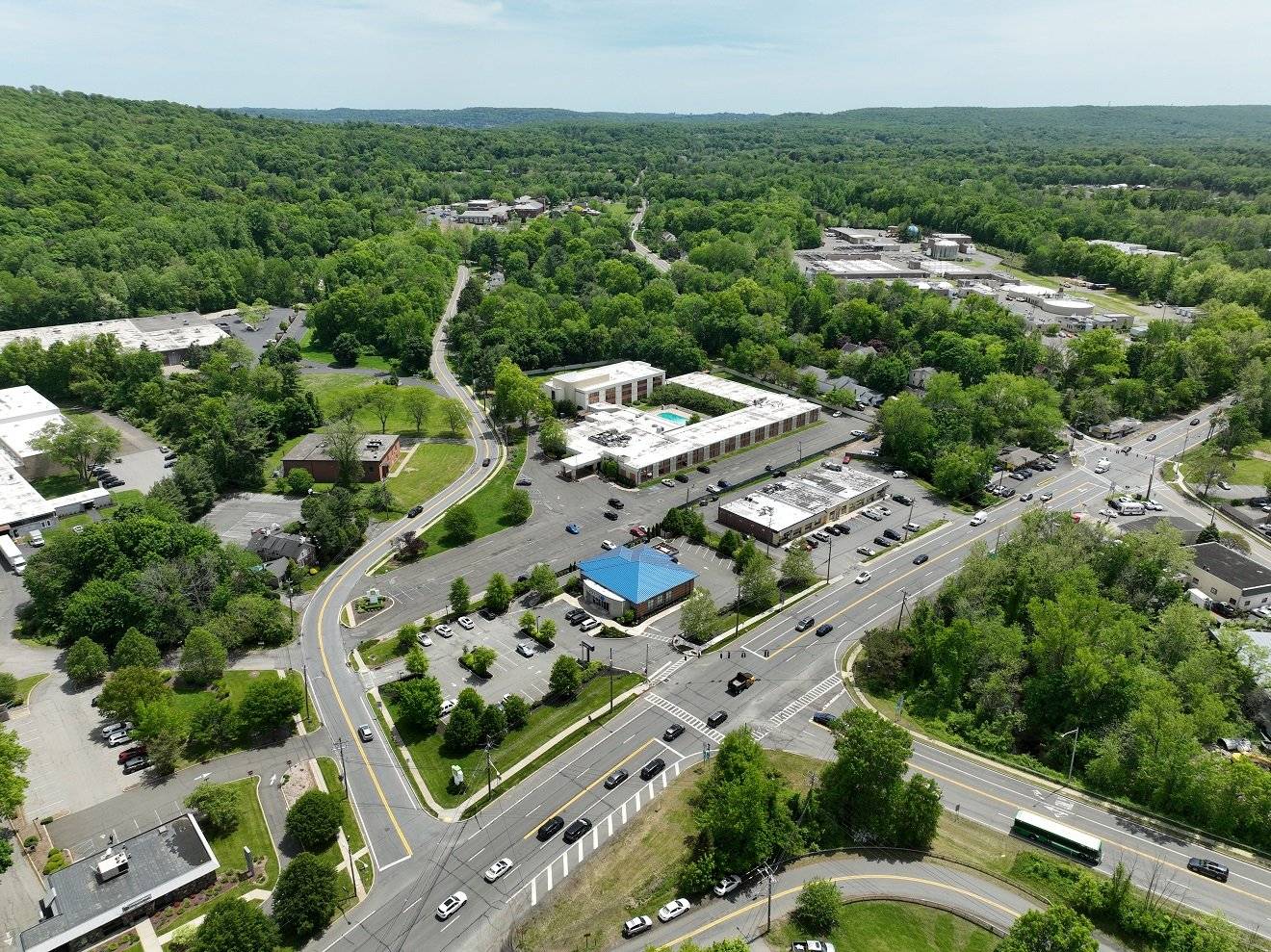
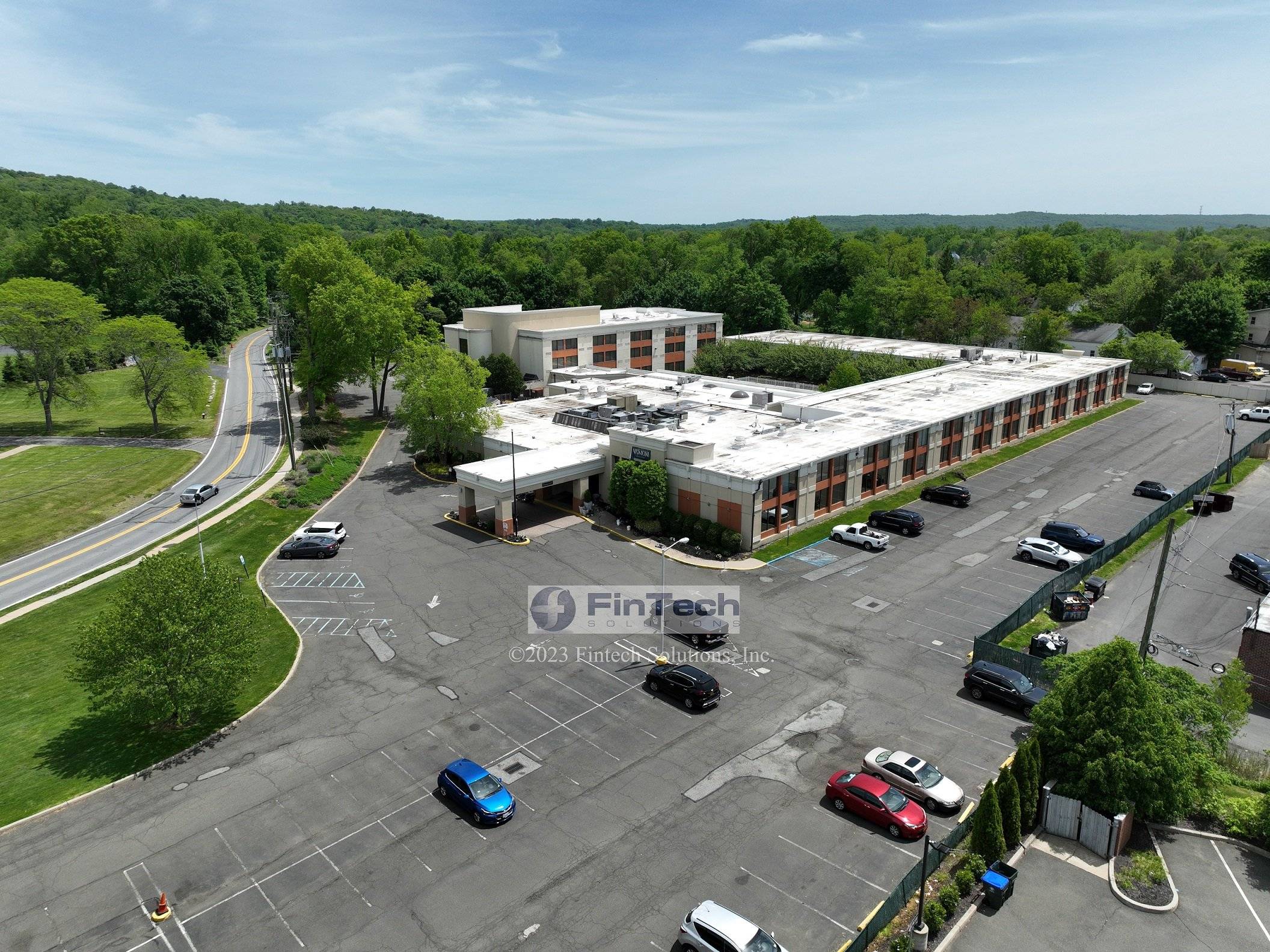
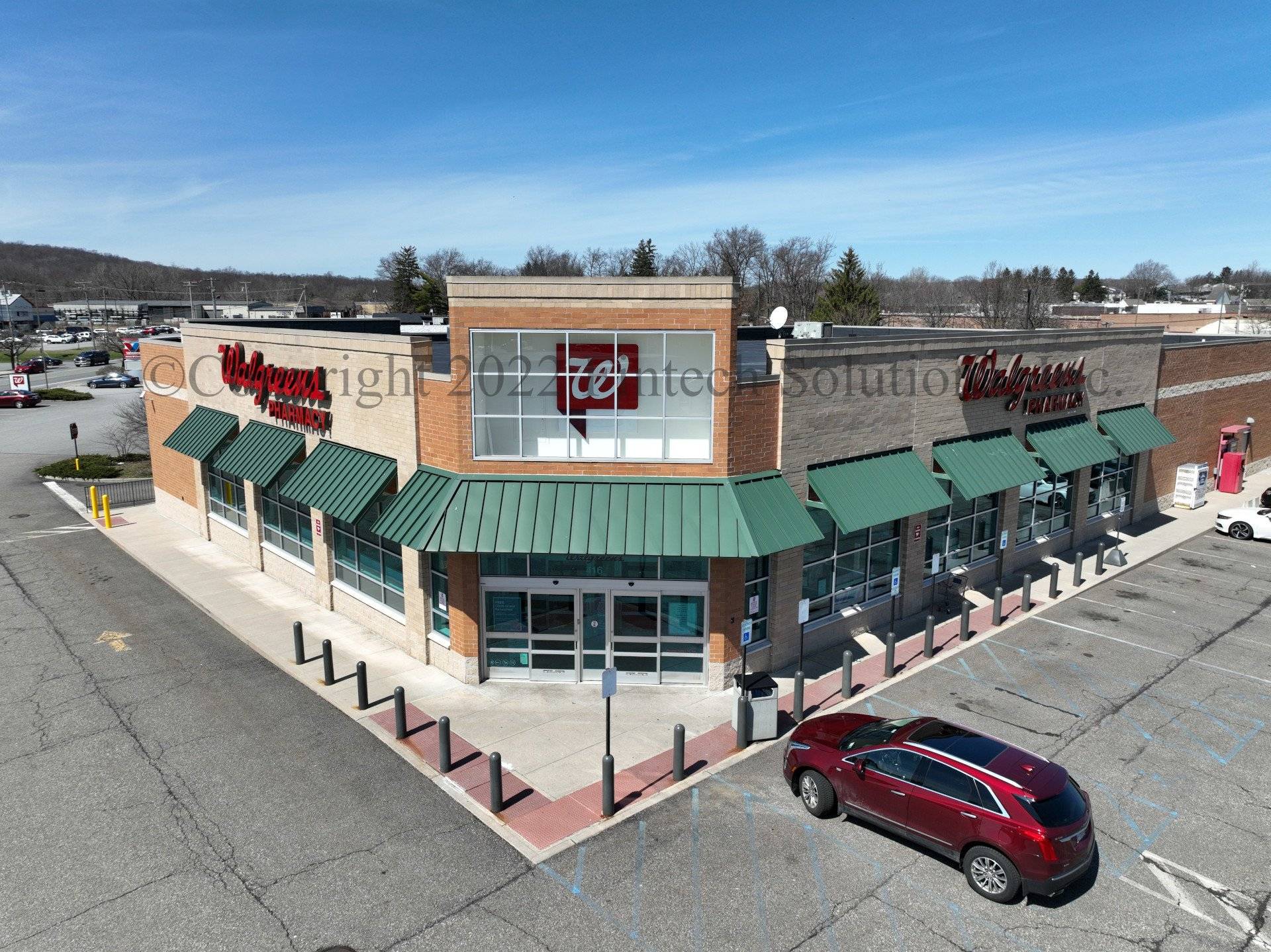
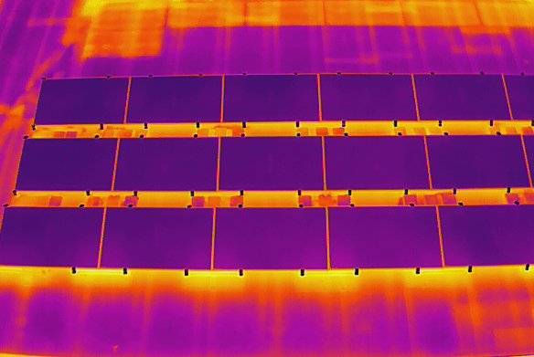
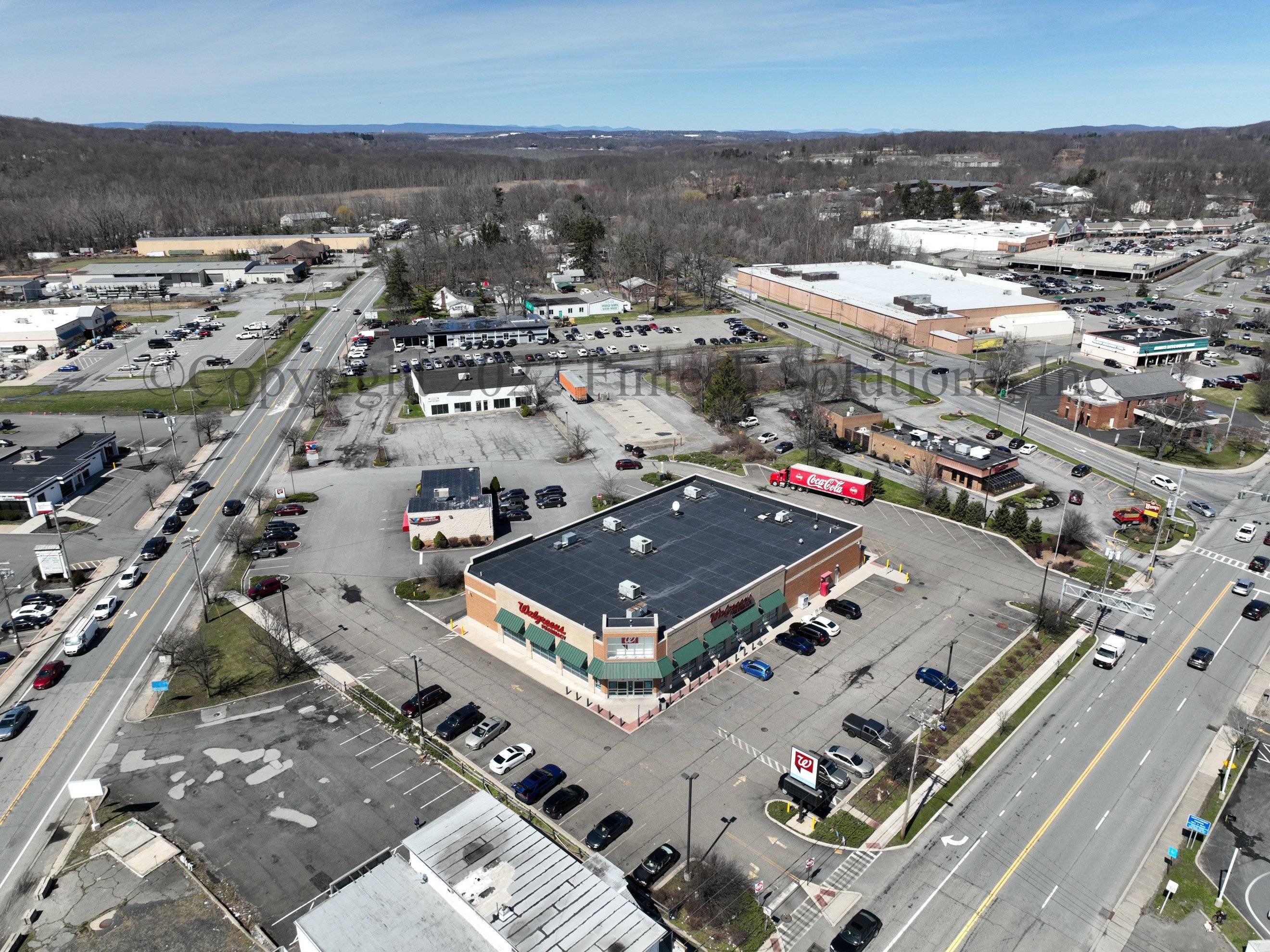
I am a FAA licensed and insured drone pilot located in Upper Westchester County New York. I provide ground and aerial photography services for many needs. Commercial and Residential Real estate, Orthomosaics, Thermal Imaging for construction and solar panel inspection, and many others. I use a nikon d7200 with Nikkor lenses for ground work. I use 4 main drones - a Mavic 3 Pro for high quality Commercial and Residential real estate shots, a Mavic 3 Enterpriseo for automated flights and creation of orthomosaic and other maps. And a Matrice 30T for thermal imaging as well as SAR needs.
Equipment:
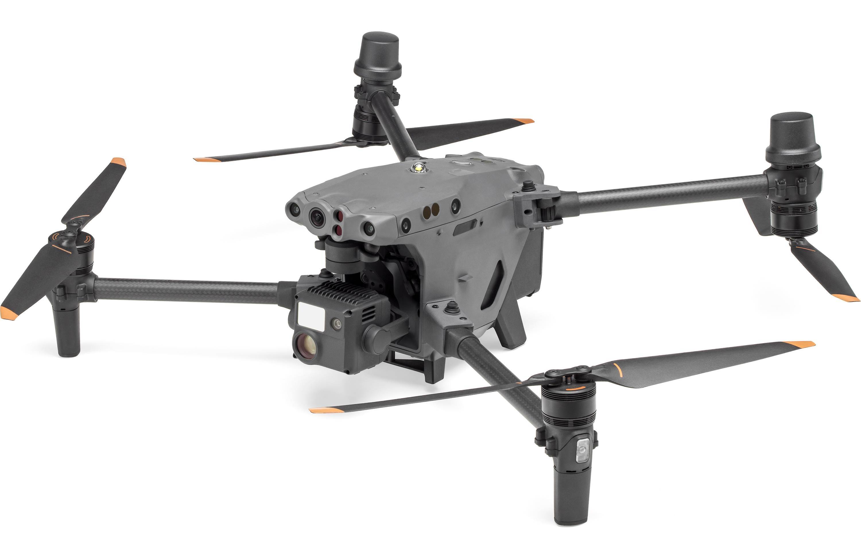
Matrice M30 Thermal
Manufacturer: DJI
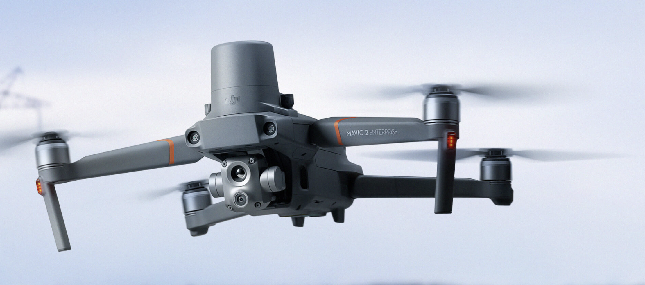
Mavic 2 Enterprise Advanced
Manufacturer: DJI
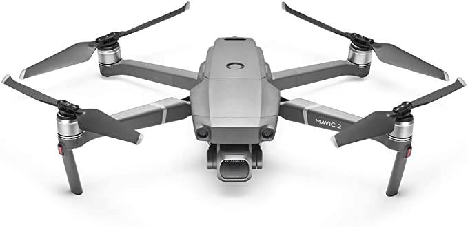
Mavic 2 Pro
Manufacturer: DJI
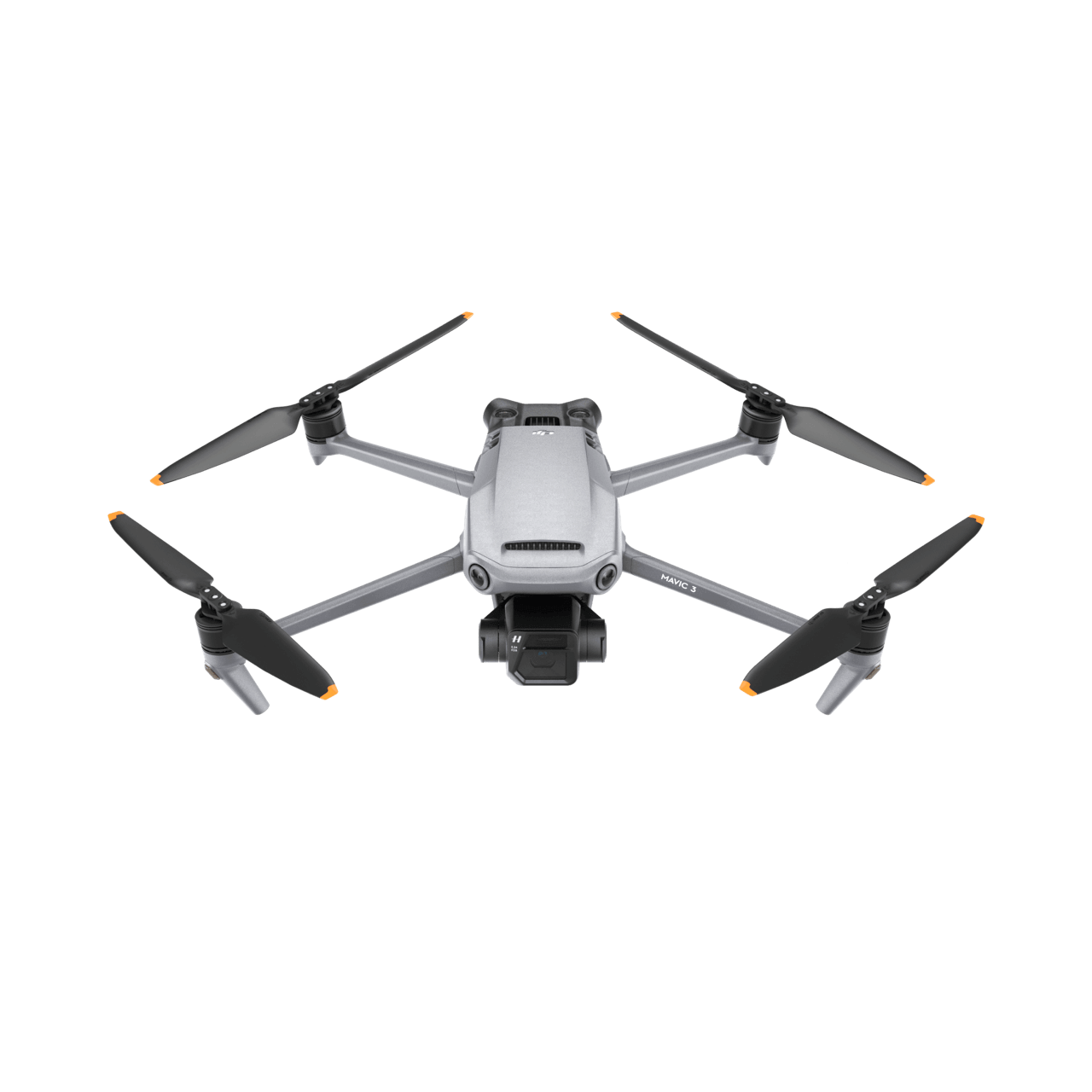
Mavic 3
Manufacturer: DJI
Service Area:

Video Gallery:
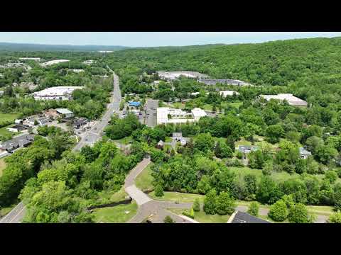
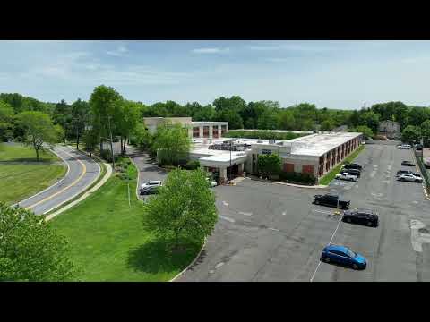
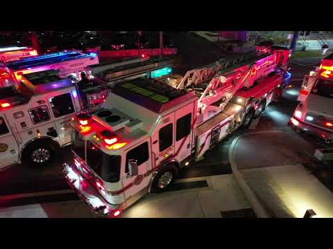
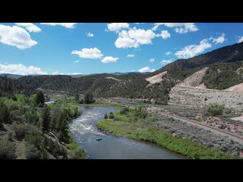
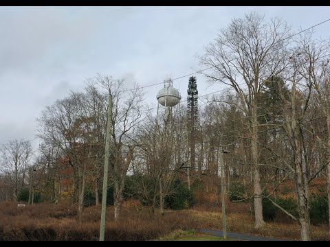
Photo Gallery: