Ray Richardson

Ray Richardson
UAS Pilot
- Aerial Inspections
- Agriculture
- Cable Inspections
- Cell Tower Inspections
- Commercials
- Construction
- Drone
- Environmental Monitoring
- Event Filming
- FAA Part 107 Test Lessons
- Flying Lessons
- FPV Drones
- Game Tracking
- Golf Courses
- Infra-Red Photography
- Insurance Inspections
- Journalism and News Coverage
- Live Events
- Mapping
- Maritime
- Mining
- Music Videos
- Oil & Gas Industry
- OTHER
- Photography
- Power Line Inspections
- Racing Drones
- Real Estate
- Roofing Inspections
- Search & Rescue
- Security
- Sport Photography
- Urban Planning
- Video Editing
- Videography
- Videos
- Weddings
- Wind Turbine Inspections
About:
Founder & CEO | FAA Part 107 Certified Drone Pilot | UAV Operations Expert As the Founder and CEO of HiFLY Aerial Drone Services, I bring over 20 years of military logistics and operations management experience into the UAV industry, delivering precision, safety, and efficiency through cutting-edge drone solutions. Mission-Driven. Data-Powered. Perspective Redefined. At HiFLY, we specialize in: ✅ Aerial Photography & Videography – Real estate, marketing, events ✅ Roof & Property Inspections – AI-powered damage analysis, thermal imaging ✅ Construction Site Monitoring – 3D mapping, stockpile analysis, progress tracking ✅ Infrastructure & Utility Inspections – Solar panels, wind turbines, bridges ✅ 2D & 3D Mapping & Surveying – High-resolution aerial data with Pix4D & DroneDeploy With a fleet of advanced DJI drones, FAA Part 107 certification, and deep expertise in data analytics, thermal imaging, and GIS mapping, I help businesses streamline operations, cut costs, and gain game-changing aerial insights across industries like construction, real estate, insurance, and infrastructure. Veteran-Owned. Tech-Driven. Results-Focused. 📍 Based in Salt Lake City, UT | Available for local & regional projects 📧 Contact:info@hiflyaerialdroneservice.com | 🌐 Website: www.hiflyaerialdroneservice.com
Equipment:
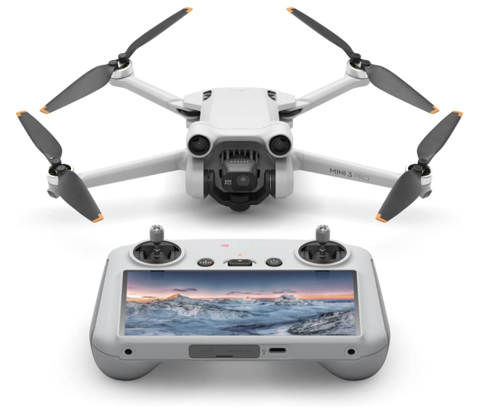
MINI PRO 3
Manufacturer: DJI
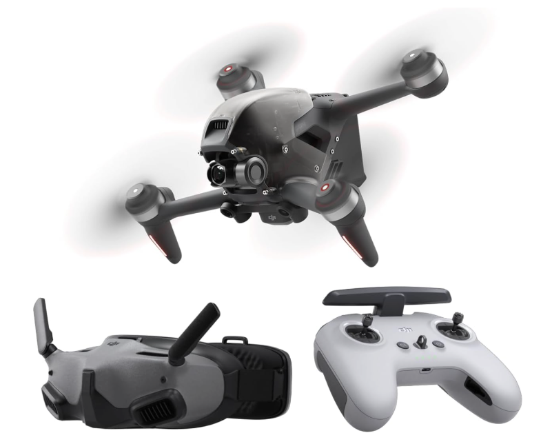
FPV
Manufacturer: DJI
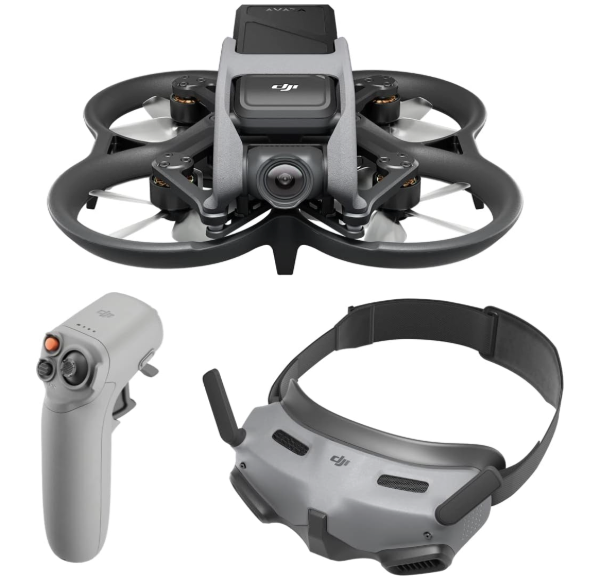
AVATA
Manufacturer: DJI
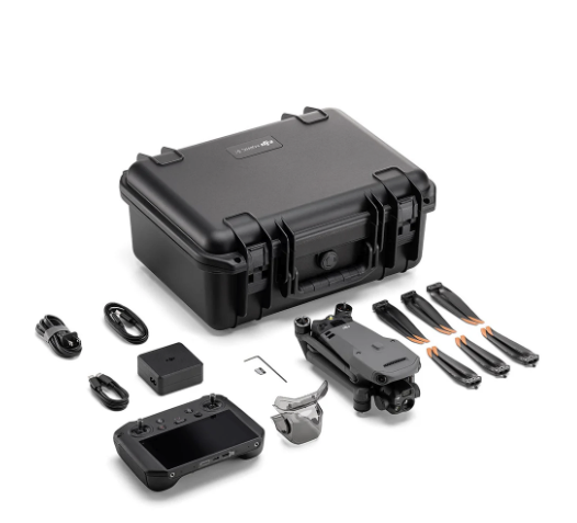
Mavic Enterprise 3 Thermal
Manufacturer: DJI
Service Area:
