
16 January 2025
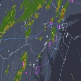
While still facing governmental threats to ban the company's drones in the U.S. due to security concerns, the latest geofencing system (GEO) update to DJI firmware now classifies No-Fly Zones as Enhanced Warning Zones.
The change puts the responsibility on drone pilots to acknowledge and obey FAA restricted airspace, rather than have their drones automatically disabled by GPS-controlled "fences" when nearing no-fly areas. Furthermore, the safety warning can be bypassed by the drone pilot.
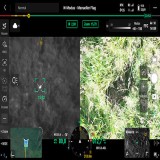
Of course, this week's drone collision of an unauthorized DJI UAV with a firefighting Super Scooper may put into question whether some drone pilots are capable of following the rules. Drone media site DroneXL even when so far as to say: “The [Los Angeles] incident highlights a critical weakness in the current drone regulatory framework—the challenge of enforcing compliance with flight restrictions during emergency operations. While manufacturers like DJI implement technological solutions such as geofencing, the effectiveness of these measures ultimately depends on operator compliance. The Drone Industry must continue to innovate in developing foolproof safety systems while regulators work to enhance enforcement capabilities and penalties for violations.”
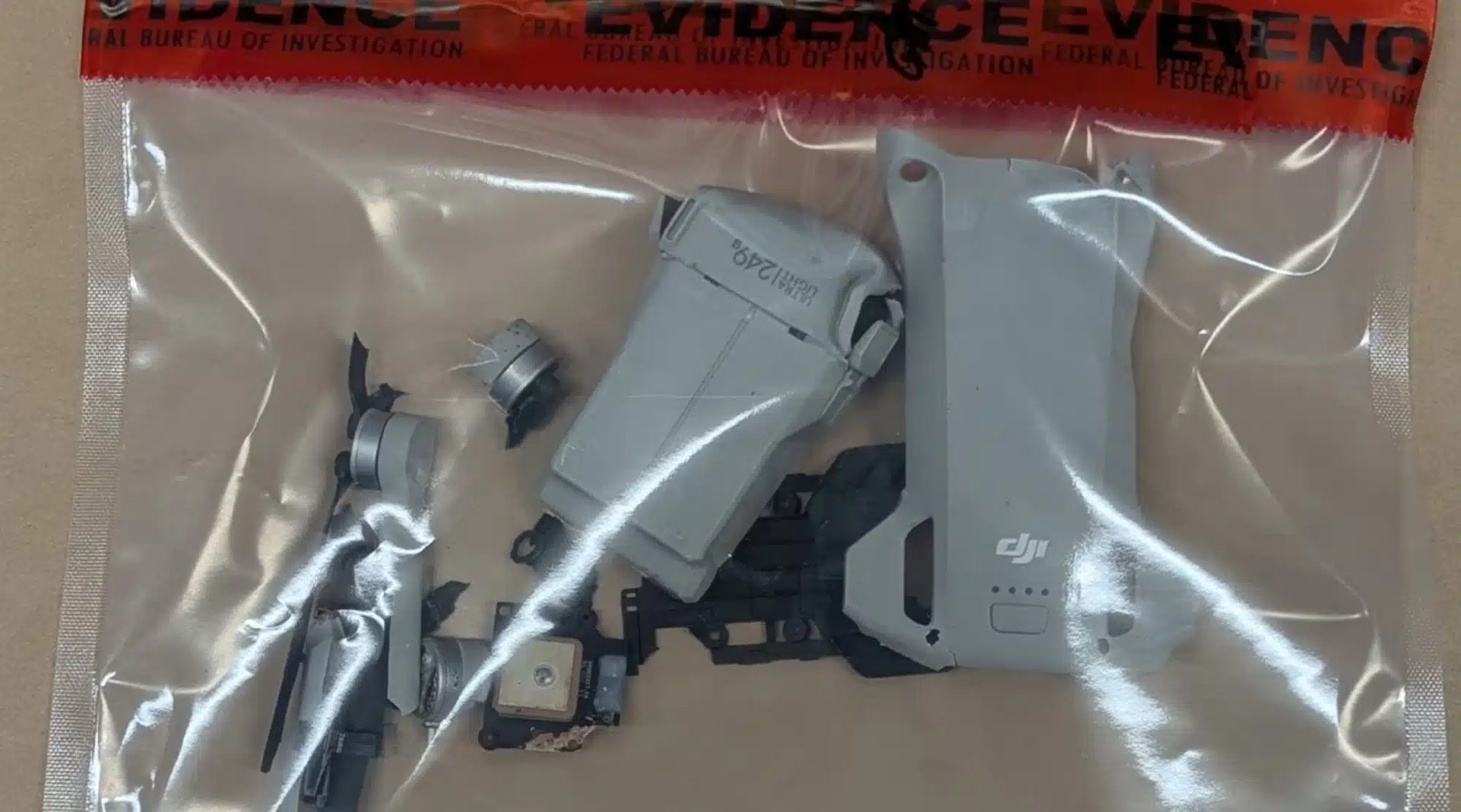
Above photo of the DJI drone that collided with an L.A. County Super Scooper is courtesy of the FBI.
"The FAA has introduced Remote ID requirements, which means that drones flown in the US must broadcast the equivalent of a 'license plate' for drones," said the company in a statement. "This requirement went into effect in early 2024, providing authorities with the tools needed to enforce existing rules."
DJI's Official Blog on the GEO Change
Perhaps anticipating the obivous security and compliance questions, DJI posted a comprehensive explanation on its official blog. We have provided the DJI content in its entirety below...
"Earlier this week, we announced an update to the DJI geofencing system (GEO) in which prior DJI geofencing datasets in most of our consumer and enterprise drone products in the United States (U.S.) will be replaced with official Federal Aviation Administration (FAA) data," said the blogpost.
"We first introduced the GEO system in 2013, at a time when consumer drones were still a relatively novel technology and formal drone flight rules and regulations were sparse. This voluntary initiative helped foster responsible flight practices and provided valuable user education. Having been in place for over a decade, we understand why there are mixed sentiments surrounding this change.
"However, some concerning reactions circulating online are either categorically false or seek to politicize this update given the current geopolitical climate. We want to take this opportunity to dispute the misinformation and set the record straight.
FACT 1: Politics does not drive safety decisions at DJI. For over a decade, DJI has led the drone industry in safety, making several unprecedented commitments and investments to integrate advanced safety systems into our drones - often ahead of regulatory requirements and without being prompted by competitors. To suggest that this update is linked to the current political environment in the U.S. is not only false but also dangerous. Politicizing safety serves no one. We encourage discussions and comments to remain focused on technological facts and evidence. To understand the true reasons behind this update, read on.
FACT 2: Aviation regulators around the world—including the FAA—have advanced the principle of operator responsibility. This GEO update aligns with and respects this principle. Similar updates to the GEO system began in the European Union (EU) last year, with no evidence of increased risk. We had planned to roll this update in the U.S. months ago but delayed the implementation to ensure the update would work properly. To add, over a decade has passed since DJI introduced the GEO system and regulators have not chosen to mandate geofencing, instead opting for solutions like Remote ID (which requires drones to broadcast the equivalent of a "license plate"), LAANC (automated drone flight approvals in controlled airspace near airports) and community-based training.
FACT 3: The GEO system has always been an educational - not an enforcement - tool. The GEO system has also not been removed; warning zones and in-app alerts remain in place to continue educating pilots on safe flight operations. This change gives back control to operators and provides them the information they need to fly safely. DJI remains committed to promoting safe and responsible flight practices and will continue its community education efforts, reminding pilots to always ensure their flights are conducted safely and in accordance with all local laws and regulations.
FACT 4: In addition to aligning with the FAA’s operator responsibility-led principles, the update to “Enhanced Warning Zones” provides two operator benefits:
- Reduced operational delays for pilots. The previous "No Fly Zones" (NFZs) often placed an unnecessary burden on operators. While a user could receive instantaneous approval through LAANC to fly, they were still required to submit an application to DJI and wait for manual review and an unlocking license. This process could result in missed opportunities, delayed operations, or unnecessary waiting times. This was especially challenging for commercial operators, drone businesses - and most critically - public safety agencies performing lifesaving work, where delays are simply unacceptable.
- Improved consistency with official FAA data. Previously, the global geofencing system relied on ICAO Annex 14 configurations for airspace around airports, which did not always align with official FAA data. This mismatch caused confusion among operators unsure about where it was safe to fly. By displaying official FAA data, this update ensures operators can view airspace as the FAA intends, clearly understanding where they can and cannot fly.
"We hope this explanation clarifies the real reasons behind the update to the GEO system: an opportunity to align with regulatory principles, empower customers with greater control, and provide them with accurate, official information to confidently operate their drones within safe and permitted airspace."