02 February 2026
By Chris "The Drone Geek" Fravel
If you’ve been scrolling through drone forums lately, you’ve likely seen a wave of confusion—and a fair bit of panic—regarding the FAA’s latest security directives. As of January 2026, the regulatory landscape for drone pilots has shifted in a way we haven’t seen since the implementation of Remote ID.
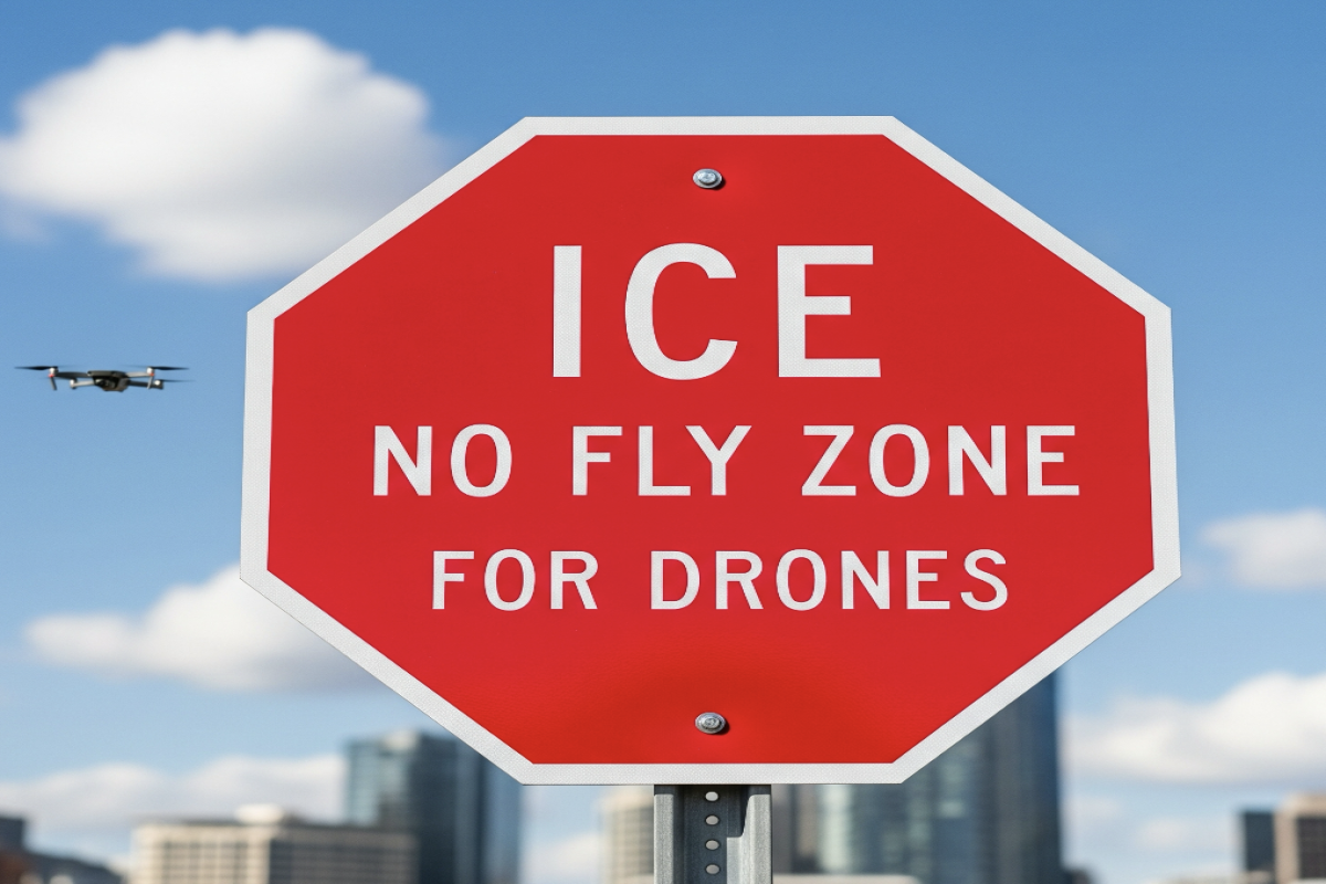
The FAA recently issued NOTAM FDC 6/4375, a security advisory that essentially creates "moving no-fly bubbles" around Department of Homeland Security (DHS) and Immigration and Customs Enforcement (ICE) operations. Unlike a traditional Temporary Flight Restriction (TFR) that has a fixed GPS coordinate and a set time, these new restrictions follow mobile assets in real-time.
For the average pilot, this is a legal minefield. How do you avoid a restricted area that isn’t on a static map? Here is everything you need to know to stay compliant and keep your drone (and your license) safe.
The New Reality: What is NOTAM FDC 6/4375?
Traditionally, drone pilots check apps like B4UFLY or AirControl to see red circles on a map. You see a VIP TFR or a stadium restriction, and you fly elsewhere. Simple.
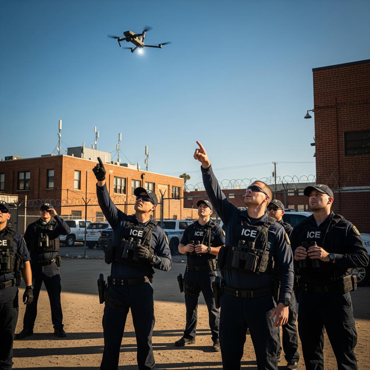
The new ICE-related restrictions are different. They apply to "mobile assets," which include vehicle convoys, temporary field operations, and even specific personnel escorts.
The Standoff Distances
● Horizontal: 3,000 feet (approx. 0.57 miles)
● Vertical: 1,000 feet AGL
If an ICE convoy is driving down a highway, they effectively carry a 3,000-foot "no-drone zone" with them. If you are hovering over a scenic bridge and that convoy passes underneath, you have technically entered restricted National Defense Airspace.
Why the Stakes are Higher Than Usual
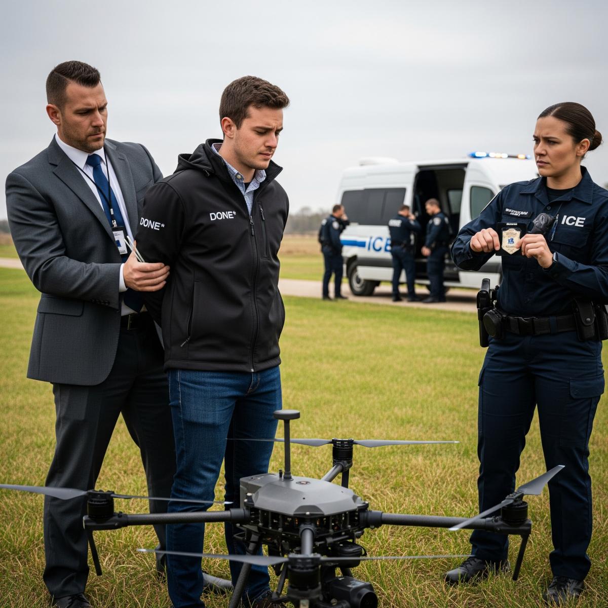
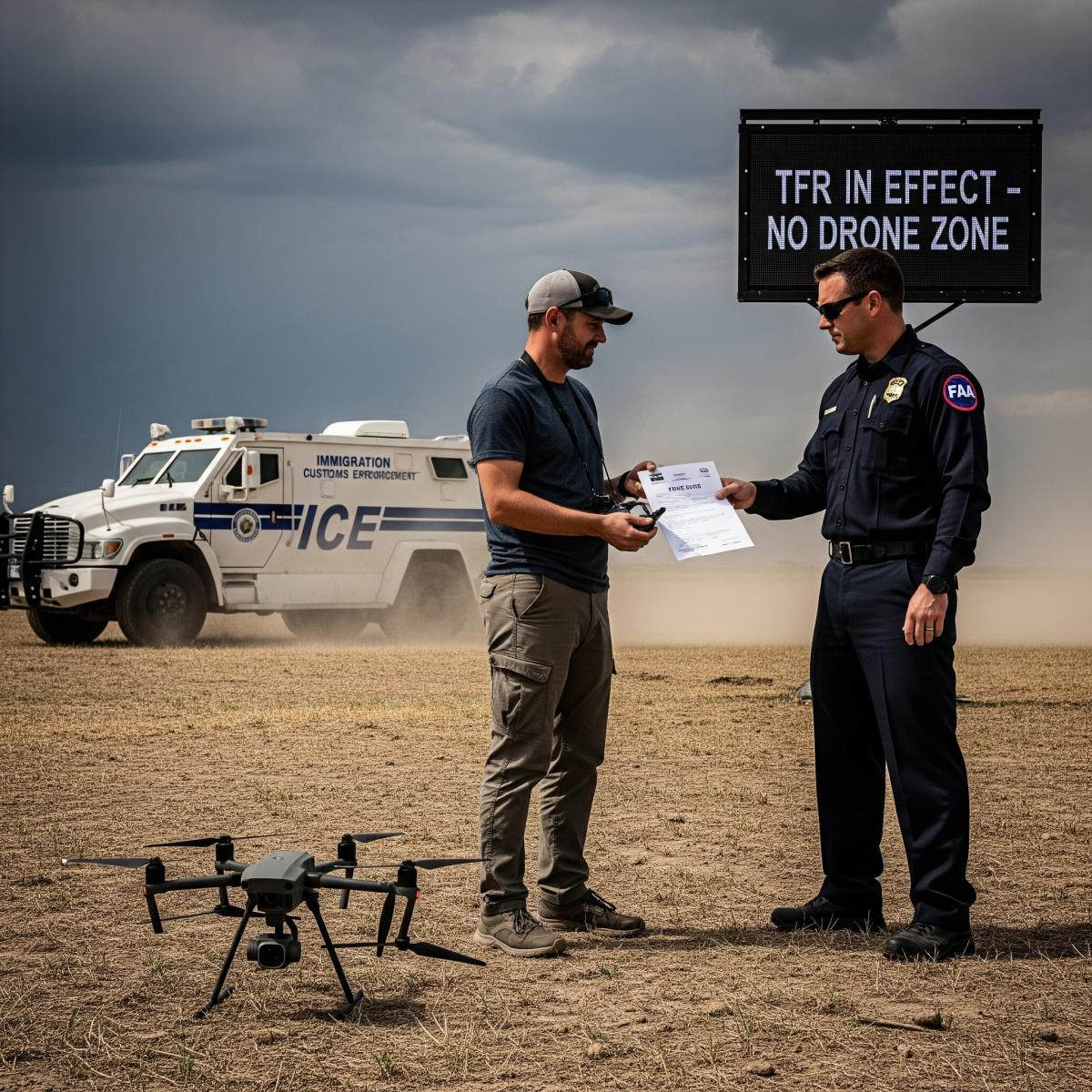
This isn't just a "slap on the wrist" regulatory hurdle. Because these restrictions are tied to national security and DHS protection, the FAA and federal law enforcement have been granted significant "mitigation" powers. Under current authorities, if a drone is perceived as a threat within these zones, the government may:
- Interfere with the signal (jamming).
- Seize the aircraft.
- Damage or Destroy the drone.
- Prosecute the pilot under federal criminal statutes.
Even if you are a Part 107 commercial pilot with a clean record, "I didn't know they were there" is no longer a guaranteed legal defense. The onus of situational awareness has been placed entirely on the pilot.
5 Proactive Strategies to Avoid Violations
Since these zones won’t always pop up on your tablet in real-time, you have to adapt your pre-flight and in-flight habits.
1. Visual Situational Awareness is Priority One
We’ve become very reliant on digital maps, but the "moving bubble" requires old-school visual scanning. Before and during your flight, look for signs of heavy government activity. This includes:
● Convoys of unmarked black SUVs or vehicles with federal plates.
● Large groups of law enforcement vehicles in non-traditional areas (not a standard traffic stop).
● Activity near border regions, processing centers, or suspected DHS staging areas.
If you see a government convoy, land immediately or fly in the opposite direction. Do not try to "get a closer look" for news or hobby purposes unless you are in direct support of the operation.
2. Monitor the FAA’s Official TFR Portal
While the moving parts aren't easily mapped, some ICE/DHS operations occur at fixed facilities that have been added to the Special Security Instructions (SSI) list.
● Visit tfr.faa.gov before every flight.
● Look specifically for NOTAMs under Title 14 CFR Section 99.7.
● Check the "Security" tab on the FAA’s interactive map.
3. Update Your "Safety Map" Apps
Ensure your flight planning apps (AirControl, UAS Sidekick, etc.) are fully updated. While these apps may not show a moving vehicle, they are increasingly integrating "static" DHS facility alerts. If you see a "Hatched Red" or "Solid Red" zone that wasn't there last week, it’s likely part of this new security expansion.
4. The "1,000-Foot Rule" for Height
While the horizontal buffer is 3,000 feet, the vertical cap is 1,000 feet. Since most Part 107 and recreational flights are capped at 400 feet AGL, you are always at a height that could conflict with these mobile bubbles. Don't assume that flying "high" protects you; it actually keeps you right in the heart of the restricted zone if you are within that half-mile horizontal radius.
5. Coordinate for "Grey Area" Flights
If you are a commercial pilot hired to film a construction site or a wedding near a government building or a known transit route, contact the FAA System Operations Support Center (SOSC) at 202-267-8276. While they may not give you the exact location of a classified convoy, they can advise if there are active security NOTAMs in your specific grid that might affect your legality.
The Impact on Journalists and Commercial Operators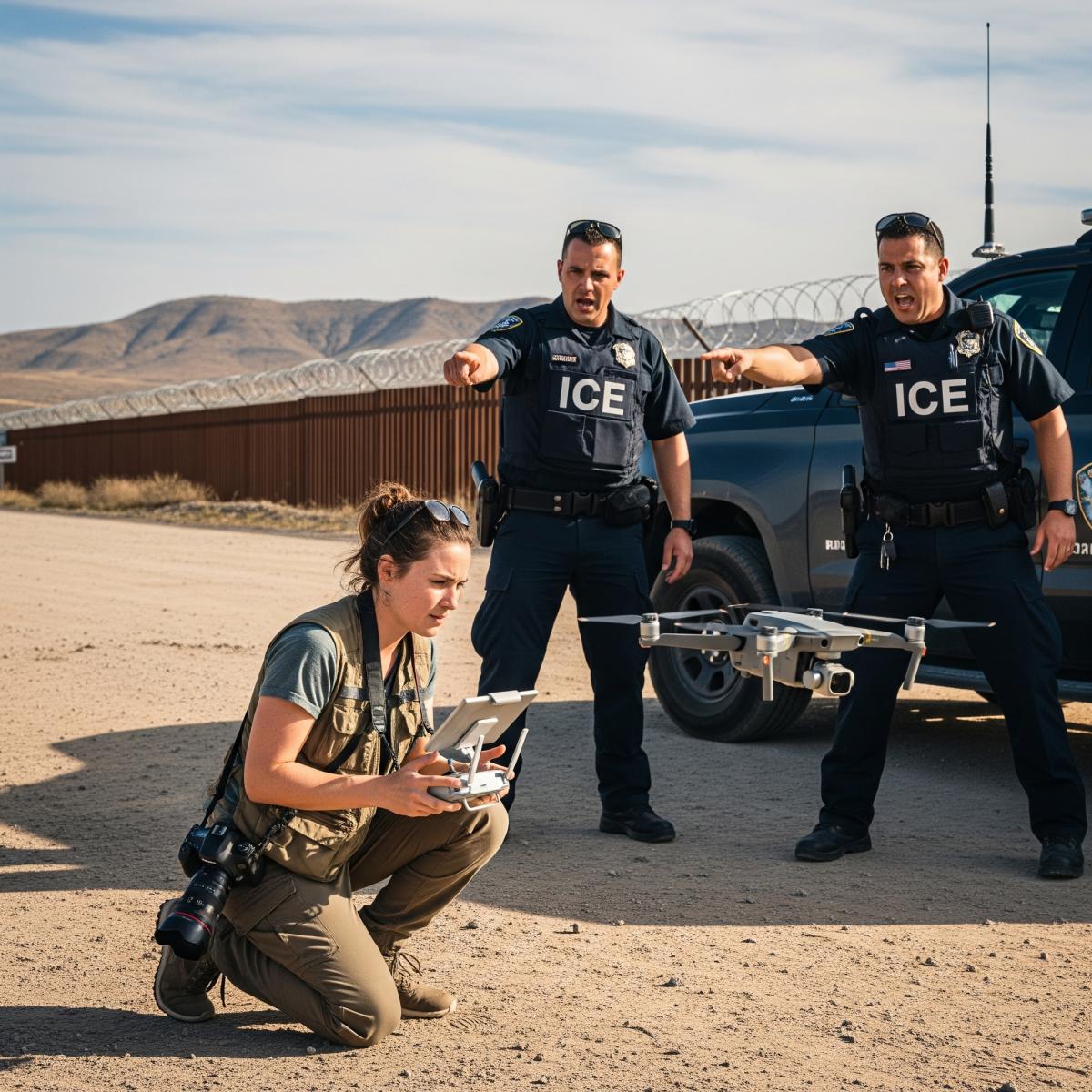
For drone journalists, these rules are particularly challenging. Documenting public-interest events involving federal agencies is now legally precarious. If you are a journalist:
● Carry your credentials: Always have your Part 107 card and media ID.
● Use a Spotter: Have a visual observer (VO) dedicated solely to looking for approaching ground convoys so you can clear the airspace before they enter your 3,000-foot radius.
● Check for "Gatekeeper" NOTAMs: Sometimes a "static" TFR will be issued for a large-scale operation. These are easier to track and should be respected without exception.
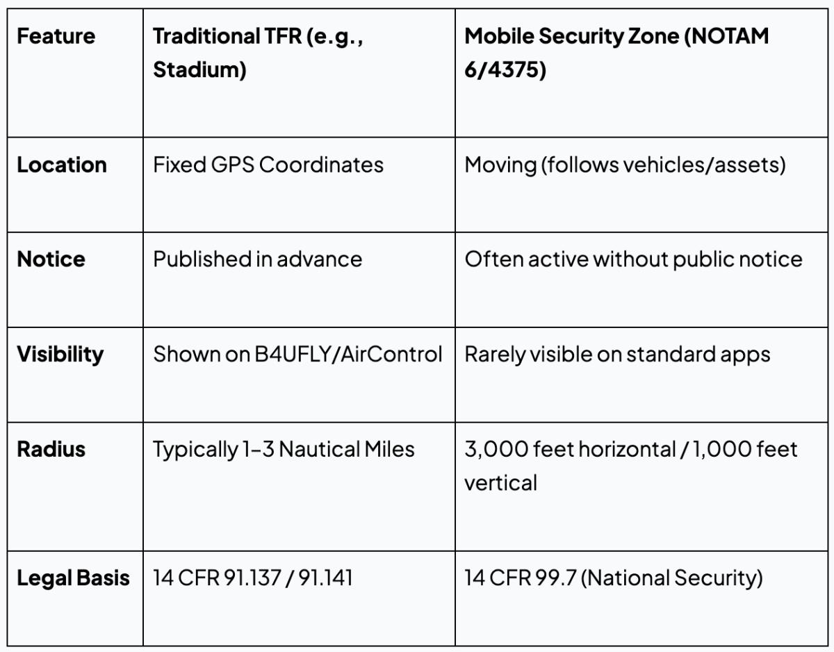
Summary Table: Traditional TFRs vs. New Mobile Security Zones
Looking Ahead
The drone community is currently pushing for better transparency. Organizations like the Drone Advocacy Alliance are asking the FAA to integrate real-time "Broadcast TFRs" that could push a notification to your controller via Remote ID if a mobile restriction is approaching.
Until that technology is live, the best advice is extreme caution. Treat any sighting of federal law enforcement vehicles as a "soft" no-fly zone. It’s better to cut a flight short by ten minutes than to deal with a federal investigation or a confiscated drone.